• Fri frakt över 249 kr
  • •
  • Snabba leveranser
  • •
  • Billiga böcker
Kundservice

Du är på sajten för privatpersoner.

Företag, bibliotek eller offentlig verksamhet?

Du handlar på classic.bokus.com, där alla dina funktioner finns intakta.
Till classic.bokus.com
Bokus logotyp. Gå till startsidan.
  • Erbjudanden
  • Student
  • Topplistor
  • Barn & ungdom
  • Bokus Play
  • E-böcker
  • Ljudböcker
  • Pocketböcker
  • Spel och pussel

Pocketfynda! Hundratals böcker för 49 kr/st →

Sidfot

Mina sidor

    Hjälp

    • Kundservice
    • Vanliga frågor och svar
    • Frakt och leverans
    • Retur vid ångerrätt
    • Reklamera vara
    • Betalning
    • Köpvillkor
    • Allmänna villkor
    • Information om webbplatsens tillgänglighet

    Om Bokus

    • Om oss
    • Pressrum
    • För studenter
    • För företag
    • För bibliotek och offentlig verksamhet
    • För leverantörer
    • Hållbarhet

    Populärt

    • Aktuella erbjudanden
    • Presentkort
    • Studentlitteratur
    • Nya böcker
    • Topplistor
    • Signerade böcker
    • Engelska böcker

    Inspiration

    • Boktips
    • BookTok
    • Barnbokskaraktärer
    • Populära författare
    Logotyp för Bokus
    Följ oss på Facebook (extern länk)Följ oss på Instagram (extern länk)Följ oss på YouTube (extern länk)Följ oss på TikTok (extern länk)
    bokus @ CookiesAnpassa cookiesIntegritetspolicyKöpvillkor
    Till Citymail hemsida (extern länk)Till Budbee hemsida (extern länk)Till Postnord hemsida (extern länk)Till Schenker hemsida (extern länk)Till Early Bird hemsida (extern länk)Till Walleys hemsida (extern länk)
    1. Samhälle och politik
    2. Sociologi och antropologi
    3. Sociologi

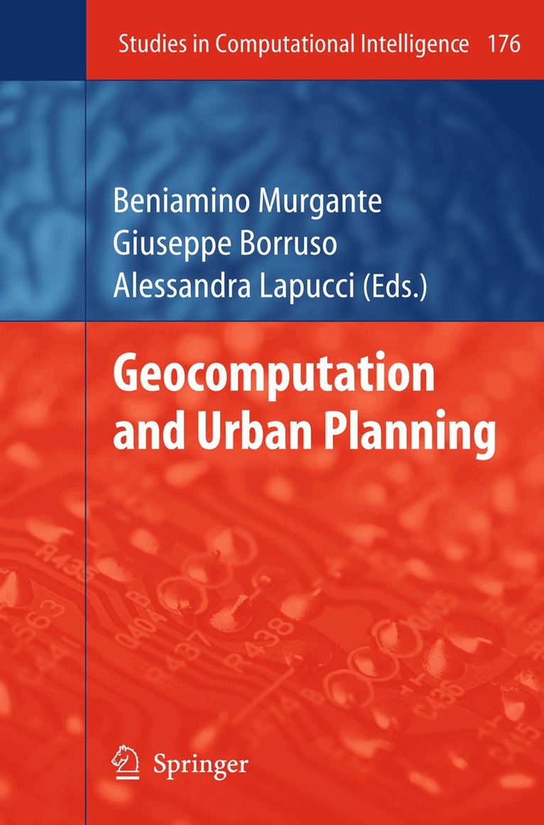
    Geocomputation and Urban Planning

    AvBeniamino Murgante,Giuseppe Borruso

    Inbunden, Engelska, 2009

    Del i serien Studies in Computational Intelligence

    1 613 kr

    Beställningsvara. Skickas inom 10-15 vardagar. Fri frakt över 249 kr.

    Beskrivning

    Sixteen years ago, Franklin estimated that about 80% of data contain geo-referenced information. To date, the availability of geographic data and information is growing, together with the capacity of users to operate with IT tools and instruments. Spatial data infrastructures are growing and allow a wide number of users to rely on them. This growth has not been fully coupled to an increase of knowledge to support spatial decisions. Spatial analytical techniques, geographical analysis and modelling methods are therefore required to analyse data and to facilitate the decision process at all levels. Old geographical issues can find an answer thanks to new methods and instruments, while new issues are developing, challenging researchers towards new solutions. This volume aims to contribute to the development of new techniques and methods to improve the process of knowledge acquisition. The Geocomputational expression is related to the development and the application of new theories, methods and tools in order to provide better solutions to complex geographical problems. The geocomputational analysis discussed in this volume, could be classified according to three main domains of applications; the first one related to spatial decision support system and to spatial uncertainty, the second connected to artificial intelligence, the third based on all spatial statistics techniques.

    Produktinformation

    • Utgivningsdatum:2009-02-26
    • Mått:155 x 235 x undefined mm
    • Format:Inbunden
    • Språk:Engelska
    • Serie:Studies in Computational Intelligence
    • Antal sidor:281
    • Förlag:Springer-Verlag Berlin and Heidelberg GmbH & Co. KG
    • ISBN:9783540899297

    Utforska kategorier

    • Sociologi inom Samhälle och politik
    • Sociala grupper och identitet inom Samhälle och politik
    • Geografi inom Naturvetenskap och teknik

    Innehållsförteckning

    • Geocomputation and Urban Planning.- Detection of Urban Socio-economic Patterns Using Clustering Techniques.- A Tale of Two Cities: Density Analysis of CBD on Two Midsize Urban Areas in Northeastern Italy.- Identification of “Hot Spots” of Social and Housing Difficulty in Urban Areas: Scan Statistics for Housing Market and Urban Planning Policies.- The Town at the End of the Town: Integration and Segregation in Suburbia.- Planning Evacuation by Means of a Multi-modal Mesoscopic Dynamic Traffic Simulation Model.- Improving Moran’s Index to Identify Hot Spots in Traffic Safety.- Visual Impact Assessment in Urban Planning.- Urban Roughness Parameters Calculation in the City of Rome by Applying Analytical and Simplified Formulations: Comparison of Results.- An Object-Oriented Model for the Sustainable Management of Evolving Spatio-temporal Information.- GIS and LIDAR Data Analysis for the Integration of Multidimensional Indicators on Urban Morphogenesis Multi-agent Vector Based Geosimulation.- Urban Pattern Morphology Time Variation in Southern Italy by Using Landsat Imagery.- Predicting the Urban Spread Using Spatio-morphological Models.- A Multi-Agent Geosimulation Infrastructure for Planning.- A Participative Multi Agent System for Urban Sustainable Mobility.