• Fri frakt över 249 kr
  • •
  • Snabba leveranser
  • •
  • Billiga böcker
Kundservice

Du är på sajten för privatpersoner.

Företag, bibliotek eller offentlig verksamhet?

Du handlar på classic.bokus.com, där alla dina funktioner finns intakta.
Till classic.bokus.com
Bokus logotyp. Gå till startsidan.
  • Erbjudanden
  • Nyheter
  • Student
  • Topplistor
  • Barn & ungdom
  • Bokus Play
  • E-böcker
  • Pocketböcker
  • Spel & pussel

10% rabatt på allt med kod: NYSTART10 →

Sidfot

Mina sidor

    Hjälp

    • Kundservice
    • Vanliga frågor och svar
    • Frakt och leverans
    • Retur vid ångerrätt
    • Reklamera vara
    • Betalning
    • Köpvillkor
    • Allmänna villkor
    • Information om webbplatsens tillgänglighet

    Om Bokus

    • Om oss
    • Pressrum
    • För studenter
    • För företag
    • För bibliotek och offentlig verksamhet
    • För leverantörer
    • Hållbarhet

    Populärt

    • Aktuella erbjudanden
    • Presentkort
    • Studentlitteratur
    • Nya böcker
    • Topplistor
    • Signerade böcker
    • Engelska böcker

    Inspiration

    • Boktips
    • BookTok
    • Populära bokserier
    • Barnbokskaraktärer
    • Populära författare
    Logotyp för Bokus
    Följ oss på Facebook (extern länk)Följ oss på Instagram (extern länk)Följ oss på YouTube (extern länk)Följ oss på TikTok (extern länk)
    bokus @ CookiesAnpassa cookiesIntegritetspolicyKöpvillkor
    Till Citymail hemsida (extern länk)Till Budbee hemsida (extern länk)Till Postnord hemsida (extern länk)Till Schenker hemsida (extern länk)Till Early Bird hemsida (extern länk)Till Walleys hemsida (extern länk)
    1. Samhälle och politik
    2. Samhälle och kultur
    3. Kultur och medier
    4. Referensverk och tvärvetenskap

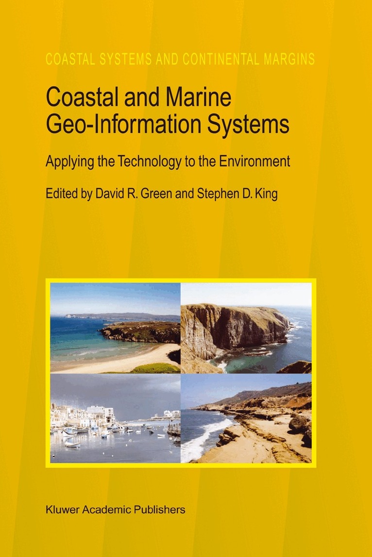
    Coastal and Marine Geo-Information Systems

    Applying the Technology to the Environment

    AvDavid R. Green,Stephen D. King

    Häftad, Engelska, 2010

    Del 4 i serien Coastal Systems and Continental Margins

    3 784 kr

    Beställningsvara. Skickas inom 10-15 vardagar. Fri frakt över 249 kr.

    Beskrivning

    The emphasis now placed on the concept of sediment cells as boundaries for coastal defence groups, and the development of SMPs, should help CPAs realise the importance of natural processes at the coast when designing defence and protection schemes. However, this will only be the case where defence groups exist, and where CPAs take up the challenge of developing SMPs. Coastal landscapes have been produced by the natural forces of wind, waves and tides, and many are nationally or internationally important for their habitats and natural features. Past practices at the coast, such as the construction of harbours, jetties and traditional defence systems may have contributed to the deterioration of the coast. English Nature (1992) have argued that if practices and methods of coastal defence are allowed to continue, then coastlines would be faced with worsening consequences, including: The loss of mudflats and the birds which live on them Damage to geological Sites of Special Scientific Interest (SSSIs) and scenic heritage by erosion, due to the stabilisation of the coast elsewhere Cutting of sediment supplies to beaches resulting in the loss of coastal wildlife Cessation through isolation from coastal processes, of the natural operation of spits, with serious deterioration of rare plants, animals and geomorphological and scenic qualities (English Nature, 1992) A number of designations, provided by national and international legislation do exist to aid conservation.

    Produktinformation

    • Utgivningsdatum:2010-12-08
    • Mått:155 x 235 x 34 mm
    • Vikt:925 g
    • Format:Häftad
    • Språk:Engelska
    • Serie:Coastal Systems and Continental Margins
    • Antal sidor:596
    • Förlag:Springer
    • ISBN:9789048152100

    Utforska kategorier

    • Referensverk och tvärvetenskap inom Samhälle och politik
    • Databaser inom Data och IT
    • Kemi inom Naturvetenskap och teknik

    Innehållsförteckning

    • The Setting.- The Coastal Zone Environment: A Place to Work, Rest, Play and to Manage.- The North East Coastline of Scotland.- The Coastal Zone.- Coastal/Marine GI/GIS - A Pan-European Perspective.- Plans for the Coastal Zone.- Hydrographic Data and Geographical Information Systems.- Example Applications.- GIS for Sustainable Coastal Zone Management in the Pacific - A Strategy.- Managing Marine Resources: The Role of GIS in EEZ Management.- The Management Plan of the Wadden Sea and its Visualisation.- Using GIS for Siting Artificial Reefs - Data Issues, Problems and Solutions: ‘Real World’ to ‘Real World’.- Collating the Past for Assessing the Future: Analysis of the Subtidal and Intertidal Data Records Within GIS.- Identifying Sites for Flood Protection - A Case Study from the River Clyde.- Arctic Coastal and Marine Environmental Monitoring.- A GIS Application for the Study of Beach Morphodynamics.- Determination and Prediction of Sediment Yields from Recession of the Holderness Coast.- Tracing the Recent Evolution of the Littoral Spit at El Rompido, Huelva (Spain) Using Remote Sensing and GIS.- Littoral and Shoreline Processes in Large Man-Made Lakes.- Coastal Zone Management: The Case of Castellón.- Habitat.- Evaluating the Coastal Environment for Marine Birds.- Initial Attempts to Assess the Importance of the Distribution of Saltmarsh Communities on the Sediment Budget of the North Norfolk Coast.- Quantifying Landscape / Ecological Succession in a Coastal Dune System Using Sequential Aerial Photography and GIS.- Geomatics for the Management of Oyster Culture Leases and Production.- GIS and Aquaculture: Soft-Shell Clam Site Assessment.- Evaluation of Ecological Effects of the North Sea Industrial Fishing Industry on the Availability of Human ConsumptionSpecies Using Geographical Distribution Resource Data.- Technology.- Digital Elevation Models by Laserscanning.- Error Modeling and Management for Data in Geospatial Information Systems.- The Use of Dynamic Segmentation in the Coastal Information System: Adjacency Relationships from Southeastern Newfoundland, Canada.- Consideration on Satellite Data Correction by Bidirectional Reflectance Measurement of Coastal Sand with a Remote Sensing Simulator.- Constructing a Geomorphological Database of Coastal Change Using GIS.- Geographic Information Systems and Decision Support Systems.- Development of a DSS for the Integrated Development of Thassos Island.- Development of a Spatial Decision Support System for the Biological Influences on Inter-Tidal Areas (Biota) Project within the Land Ocean Interaction Study.- User Assessment of Coastal Spatial Decision Support Systems.- Internet-Based Information Systems: The Forth Estuary Forum (FEF) System.- Mike Info Coast - A GIS-Based Tool for Coastal Zone Management.- Remote Sensing.- Matching Issue to Utility: An Hierarchical Store of Remotely Sensed Imagery for Coastal Zone Management.- Predicting the Distribution of Marine Benthic Biotopes in Scottish Conservation Areas Using Acoustic Remote Sensing, Underwater Video and GIS.- Submerged Kelp Biomass Assessment using CASI.- Monitoring Coastal Morphological Changes Using Topographical Methods, Softcopy Photogrammetry and GIS, Huelva (Andalucia, Spain).- Characterization of Coastal Waters for the Monitoring of Pollution by Means of Remote Sensing; the Use of Satellite Imagery to Establish the Appropriate Pattern for Timing and Location of Sampling in Coastal Waters.- Developments and the Future.- European CZM and the Global Spatial Data Infrastructure Initiative (GSDI).- Access to Marine Data on the Internet for Coastal Zone Management: The New Millennium.