• Fri frakt över 249 kr
  • •
  • Snabba leveranser
  • •
  • Billiga böcker
Kundservice

Du är på sajten för privatpersoner.

Företag, bibliotek eller offentlig verksamhet?

Du handlar på classic.bokus.com, där alla dina funktioner finns intakta.
Till classic.bokus.com
Bokus logotyp. Gå till startsidan.
  • Erbjudanden
  • Student
  • Topplistor
  • Barn & ungdom
  • Bokus Play
  • E-böcker
  • Ljudböcker
  • Pocketböcker
  • Spel och pussel

Pocketfynda! Hundratals böcker för 49 kr/st →

Sidfot

Mina sidor

    Hjälp

    • Kundservice
    • Vanliga frågor och svar
    • Frakt och leverans
    • Retur vid ångerrätt
    • Reklamera vara
    • Betalning
    • Köpvillkor
    • Allmänna villkor
    • Information om webbplatsens tillgänglighet

    Om Bokus

    • Om oss
    • Pressrum
    • För studenter
    • För företag
    • För bibliotek och offentlig verksamhet
    • För leverantörer
    • Hållbarhet

    Populärt

    • Aktuella erbjudanden
    • Presentkort
    • Studentlitteratur
    • Nya böcker
    • Topplistor
    • Signerade böcker
    • Engelska böcker

    Inspiration

    • Boktips
    • BookTok
    • Barnbokskaraktärer
    • Populära författare
    Logotyp för Bokus
    Följ oss på Facebook (extern länk)Följ oss på Instagram (extern länk)Följ oss på YouTube (extern länk)Följ oss på TikTok (extern länk)
    bokus @ CookiesAnpassa cookiesIntegritetspolicyKöpvillkor
    Till Citymail hemsida (extern länk)Till Budbee hemsida (extern länk)Till Postnord hemsida (extern länk)Till Schenker hemsida (extern länk)Till Early Bird hemsida (extern länk)Till Walleys hemsida (extern länk)
    1. Samhälle och politik
    2. Samhälle och kultur
    3. Kultur och medier
    4. Referensverk och tvärvetenskap

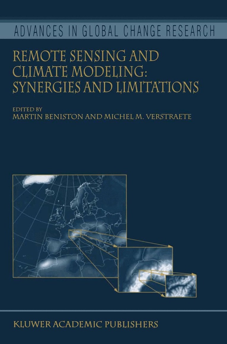
    Remote Sensing and Climate Modeling: Synergies and Limitations

    AvMartin Beniston,Michel M. Verstraete

    Häftad, Engelska, 2010

    Del 7 i serien Advances in Global Change Research

    1 613 kr

    Beställningsvara. Skickas inom 10-15 vardagar. Fri frakt över 249 kr.

    Beskrivning

    1 2 Michel M. VERSTRAETE and Martin BENISTON 1 Space Applications Institute, EC Joint Research Centre, Ispra, Italy 2 Department of Geography, University of Fribourg, Switzerland This volume contains the proceedings ofthe workshop entitled “Satellite Remote Sensing and Climate Simulations: Synergies and Limitations” that took place in Les Diablerets, Switzerland, September 20–24, 1999. This international scientific conference aimed at addressing the current and pot- tial role of satellite remote sensing in climate modeling, with a particular focus on land surface processes and atmospheric aerosol characterization. Global and regional circulation models incorporate our knowledge ofthe dynamics ofthe Earth's atmosphere. They are used to predict the evolution of the weather and climate. Mathematically, this system is represented by a set ofpartial differential equations whose solution requires initial and bo- dary conditions. Limitations in the accuracy and geographical distribution of these constraints, and intrinsic mathematical sensitivity to these conditions do not allow the identification of a unique solution (prediction). Additional observations on the climate system are thus used to constrain the forecasts of the mathematical model to remain close to the observed state ofthe system.

    Produktinformation

    • Utgivningsdatum:2010-10-22
    • Mått:155 x 235 x 20 mm
    • Vikt:546 g
    • Format:Häftad
    • Språk:Engelska
    • Serie:Advances in Global Change Research
    • Antal sidor:346
    • Förlag:Springer
    • ISBN:9789048156481

    Utforska kategorier

    • Referensverk och tvärvetenskap inom Samhälle och politik
    • Miljövetenskap och miljöpolitik inom Naturvetenskap och teknik
    • Meteorologi och klimatologi inom Naturvetenskap och teknik

    Innehållsförteckning

    • A global vegetation index for SeaWiFS: Design and applications.- Modeling sensible heat flux using estimates of soil and vegetation temperatures: the HEIFE and IMGRASS experiments.- Exploitation of Surface Albedo Derived From the Meteosat Data to Characterize Land Surface Changes.- Towards a Climatology of Australian Land Surface Albedo for use in Climate Models.- Collocated surface and satellite observations as constraints for Earth radiation budget simulations with global climate models.- How well do aerosol retrievals from satellites and representation in global circulation models match ground-based AERONET aerosol statistics?.- Remote Sensing of Snow and Characterization of Snow Albedo for Climate Simulations.- Using the Special Sensor Microwave Imager to Monitor Surface Wetness and Temperature.- Snow Cover Fraction In A General Circulation Model.- Boreal Forest Fire Regimes And Climate Change.- Specification of surface characteristics for use in a high resolution regional climate model: on the role of glaciers in the swiss alps.- Using Satellite Data Assimilation to Infer Global Soil Moisture Status and Vegetation Feedback to Climate.- The Use of Remotely-Sensed Data for the Estimation of Energy Balance Components in a Mountainous Catchment Area.- Integration of operationally available remote sensing and synoptic data for surface energy balance modelling and environmental applications on the regional scale.