Fabio Manfredini – författare
Visar alla böcker från författaren Fabio Manfredini. Handla med fri frakt och snabb leverans.
2 produkter
2 produkter
Häftad, Engelska, 2015
543 kr
Skickas inom 10-15 vardagar
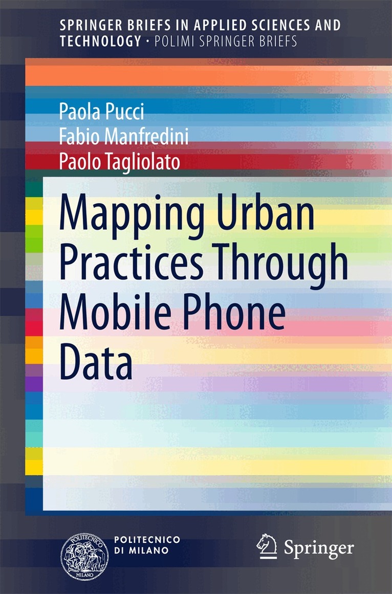
This book explains the potential value of using mobile phone data to monitor urban practices and identify rhythms of use in today’s cities. Drawing upon research conducted in the Italian region of Lombardy, the authors demonstrate how maps based on mobile phone data, which are better tailored to the dynamic processes at work in cities, can document urban practices, provide new insights into spatial and temporal patterns of mobility, and assist in recognizing different communities of practice. The described methodology permits detailed visualization of the spatial distribution of mobility flows and offers a more extensive and refined description of the distribution of urban activity than is provided by traditional travel surveys. The book also details how maps derived by processing mobile phone data can assist in the definition of urban policies that will deliver services that match cities’ needs, facilitate the management of large events (inflow, outflow, and monitoring), and reflect time-dependent phenomena not included in traditional analyses.
E-bok
PDF, Engelska, 2015712 kr
Läs direkt efter köp
This book explains the potential value of using mobile phone data to monitor urban practices and identify rhythms of use in today’s cities. Drawing upon research conducted in the Italian region of Lombardy, the authors demonstrate how maps based on mobile phone data, which are better tailored to the dynamic processes at work in cities, can document urban practices, provide new insights into spatial and temporal patterns of mobility, and assist in recognizing different communities of practice. The described methodology permits detailed visualization of the spatial distribution of mobility flows and offers a more extensive and refined description of the distribution of urban activity than is provided by traditional travel surveys. The book also details how maps derived by processing mobile phone data can assist in the definition of urban policies that will deliver services that match cities’ needs, facilitate the management of large events (inflow, outflow, and monitoring), and reflect time-dependent phenomena not included in traditional analyses.