Harrison Jane Harrison – författare
Visar alla böcker från författaren . Handla med fri frakt och snabb leverans.
4 produkter
4 produkter
E-bok
Engelska, 2019413 kr
Läs direkt efter köp
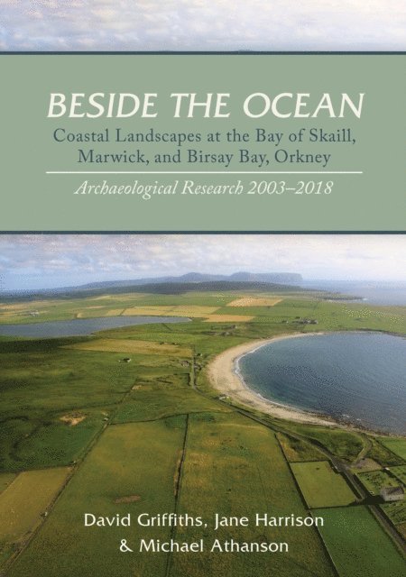
The Bay of Skaill, Marwick Bay, and Birsay Bay form openings in the high sandstone cliffs of Orkney’s Atlantic coast. These west-facing bays have long been favored locations for settlement, with access to the ocean, to fresh water, to land and to resources for cultivation. The coastline of Orkney’s North-West Mainland is recognized worldwide as a location of exceptional archaeological importance, dominated by the Neolithic world heritage site of Skara Brae, and the Viking-Norse remains on the tidal Brough of Birsay. Many of its archaeological sites have been exposed by coastal erosion, a serious problem which continues its destructive progress with every oceanic storm. Rescue excavation has contributed essential data, but its resources have concentrated on the zone of immediate threat, and until recently less has been understood about the archaeology of the landscape that lies behind the eroding shore. From 2003, a new archaeological research project began to investigate the hinterlands of the three bays. Using the rapidly-developing applications of archaeological geophysics, coupled with topographical survey, it has sought to create a broader and better-informed landscape context. Much of the land is dominated by windblown sand, at the Bay of Skaill and Birsay Bay in particular, reflecting centuries of environmental change, and requiring adaptive methodologies and approaches. Several new areas of archaeological interest have been identified, and many previously-known sites are now better-understood. Excavation was used selectively to test the survey results. In one area in particular, a cluster of large settlement mounds on the northern side of the Bay of Skaill, two major Viking-Norse settlement clusters were identified and investigated. These held exceptionally well-preserved deposits, which have required detailed dating and analysis. The artifact assemblages include evidence for ferrous metalworking along with iron and copper alloy objects, combs, glass and amber beads, worked stone, ceramics, and a range of archaeobotanical and archaeozoological remains. A Viking silver hoard discovered in 1858 and a Viking grave uncovered in 1888 are revisited. This monograph brings together the survey and excavation results, and tells a new story of an ancient landscape.
E-bok
PDF, Engelska, 2019398 kr
Läs direkt efter köp
The Bay of Skaill, Marwick Bay, and Birsay Bay form openings in the high sandstone cliffs of Orkney’s Atlantic coast. These west-facing bays have long been favored locations for settlement, with access to the ocean, to fresh water, to land and to resources for cultivation. The coastline of Orkney’s North-West Mainland is recognized worldwide as a location of exceptional archaeological importance, dominated by the Neolithic world heritage site of Skara Brae, and the Viking-Norse remains on the tidal Brough of Birsay. Many of its archaeological sites have been exposed by coastal erosion, a serious problem which continues its destructive progress with every oceanic storm. Rescue excavation has contributed essential data, but its resources have concentrated on the zone of immediate threat, and until recently less has been understood about the archaeology of the landscape that lies behind the eroding shore. From 2003, a new archaeological research project began to investigate the hinterlands of the three bays. Using the rapidly-developing applications of archaeological geophysics, coupled with topographical survey, it has sought to create a broader and better-informed landscape context. Much of the land is dominated by windblown sand, at the Bay of Skaill and Birsay Bay in particular, reflecting centuries of environmental change, and requiring adaptive methodologies and approaches. Several new areas of archaeological interest have been identified, and many previously-known sites are now better-understood. Excavation was used selectively to test the survey results. In one area in particular, a cluster of large settlement mounds on the northern side of the Bay of Skaill, two major Viking-Norse settlement clusters were identified and investigated. These held exceptionally well-preserved deposits, which have required detailed dating and analysis. The artifact assemblages include evidence for ferrous metalworking along with iron and copper alloy objects, combs, glass and amber beads, worked stone, ceramics, and a range of archaeobotanical and archaeozoological remains. A Viking silver hoard discovered in 1858 and a Viking grave uncovered in 1888 are revisited. This monograph brings together the survey and excavation results, and tells a new story of an ancient landscape.
443 kr
Läs direkt efter köp
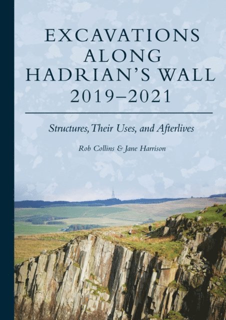
This study focuses on the fabric, construction and preservation of stretches of Hadrian''s Wall in its more remote locations, providing significant insights into the places between the mile castles and important forts and associated settlements.The Hadrian’s Wall Community Archaeology Project (WallCAP) conducted a series of fieldwork projects along the Hadrian’s Wall corridor between 2019 and 2021. The work focused on sites that were poorly understood or under particular threat and aimed to improve understanding of them so they could be better managed in future. At several sites excavation was followed by conservation and consolidation work. This volume brings together the final reports of these excavations, at six Roman sites in the Wall corridor. As the sites were spread along the length of the Wall the character and afterlife of the Wall in very different landscape locations could be compared. An assessment of the Vallum at Heddon on the Wall identified how earthwork archaeology survived in a sloped, heavily ploughed landscape. Three excavations investigated the condition of the stone Wall curtain: at Port Carlisle, Walltown Crags, and Steel Rigg and Cats Stairs. At each site the Wall builders had responded to the demands of the local terrain and made use of local resources. At each site the Wall had a different post-Roman history. Excavations at the bridging point of the Cam Beck revealed for the first time how the Wall was carried over a ‘minor’ watercourse, and discovered traces of the Turf Wall. Small buildings were also identified just south of the Wall as it approached the bridge. At Corbridge Roman town, excavations on the northern periphery of the settlement demonstrated that from early in its history the most northerly town in Europe was of considerable extent. The area investigated showed that, even at the edge of town, shops lined the roads alongside well-appointed houses with bustling yards. Later on in the Roman period the town contracted behind walls and cremation burials were inserted by the road. Each site is reported on independently, presenting the primary data for each investigation. The volume concludes with a synthetic analysis of what the results of these excavations together reveal about Hadrian’s Wall, considering, amongst other things, construction details and the decay and destruction of the monument in the centuries following Roman occupation.
E-bok
Engelska, 2023123 kr
Läs direkt efter köp
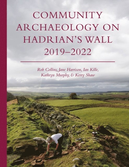
The Hadrian’s Wall Community Archaeology Project (WallCAP) was funded by the National Lottery Heritage Fund to promote the value of heritage – specifically of the Hadrian’s Wall World Heritage Site – to local communities and provide opportunities for volunteers to engage with the archaeology and conservation of the Wall to better ensure the future of the monument.This short book provides a summary of the project, communicating the range of activities undertaken during the project and key results. The structure and aims of the project are communicated, and an overview of the many different people and communities that participated are explored. Archaeological fieldwork resulted in a number of new discoveries and insights into Hadrian’s Wall. Revolutionary new work to explore the stones of Hadrian’s Wall, its source geology and how stones were reused from the monument is also discussed. Each chapter is supported by full color illustrations and contributions from project volunteers also bring the project into a vibrant focus.