Prashant Kumar Srivastava – författare
Visar alla böcker från författaren Prashant Kumar Srivastava. Handla med fri frakt och snabb leverans.
5 produkter
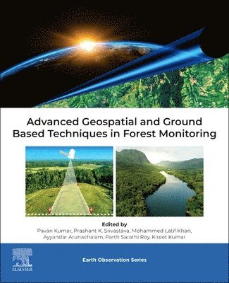
Advanced Geospatial and Ground Based Techniques in Forest Monitoring
Av Pavan Kumar, Prashant Kumar Srivastava m. fl.
Häftad, 2025
1483 kr
Lägg i varukorg
Advanced Geospatial and Ground Based Techniques in Forest Monitoring provides insights into advanced geospatial technology in the field of forestry. The book provides both traditional and special techniques for monitoring the forest, including biophysical and biochemical parameters, retrieval, …
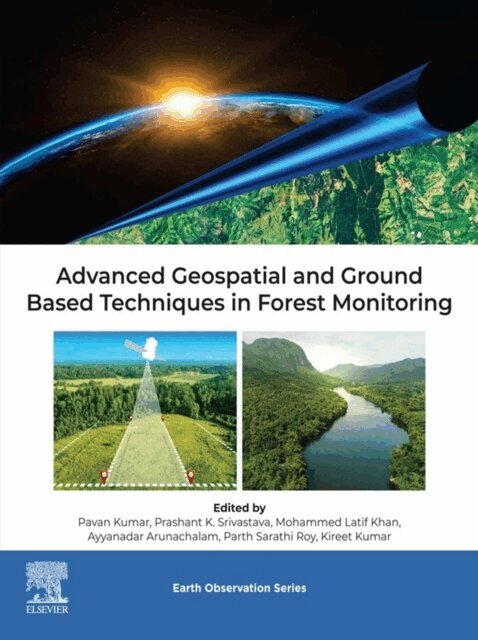
Advanced Geospatial and Ground Based Techniques in Forest Monitoring
Av Kireet Kumar, Parth Sarathi Roy m. fl.
E-bok, 2025
1874 kr
Lägg i varukorg
Advanced Geospatial and Ground Based Techniques in Forest Monitoring provides insight into advanced geospatial technology in the field of forestry. It provides both traditional and special techniques for monitoring the forest, including biophysical and biochemical parameters, retrieval, species …
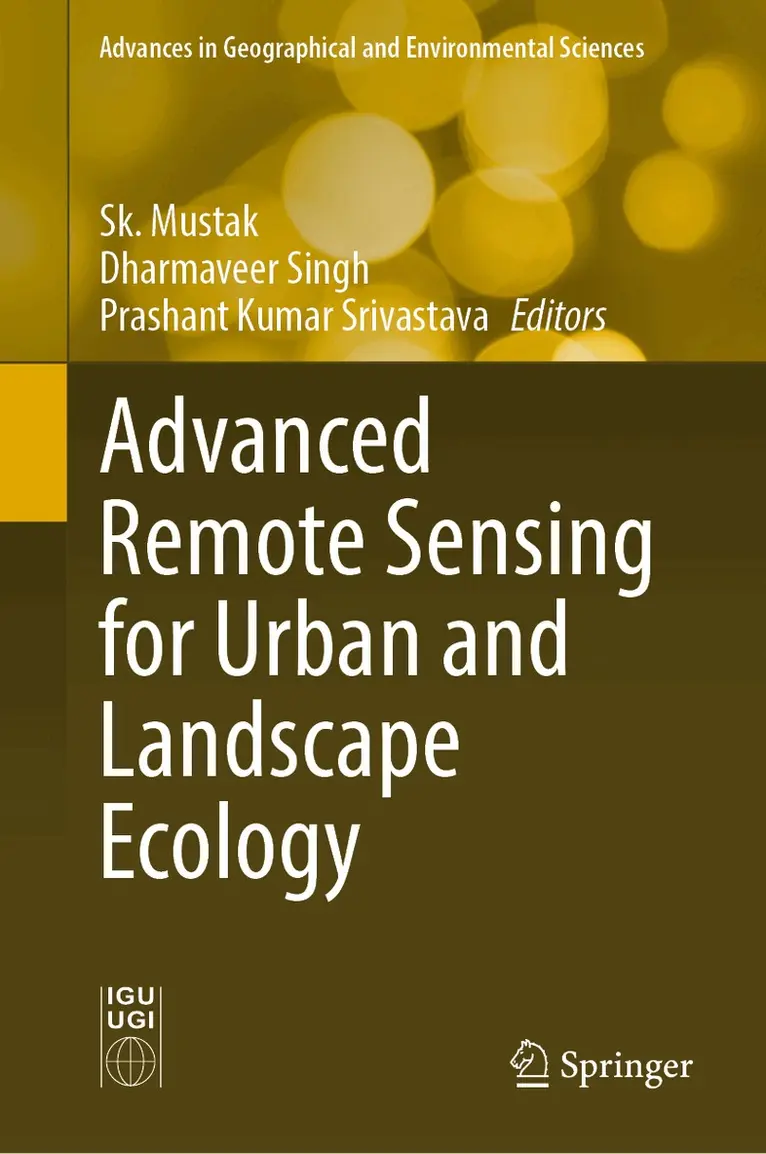
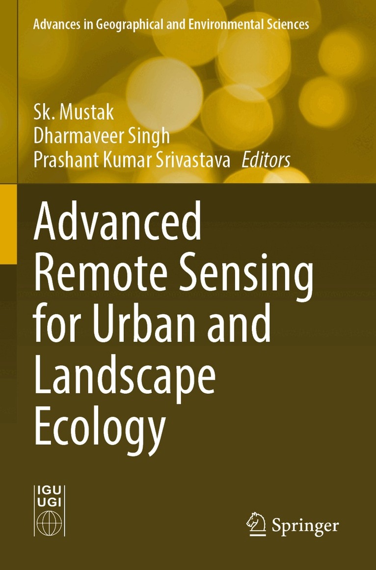
Advanced Remote Sensing for Urban and Landscape Ecology
Av Sk. Mustak, Dharmaveer Singh m. fl.
Inbunden, 2023
2372 kr
Lägg i varukorg
This book introduces the use of various remote sensing data such as microwave, hyperspectral and very high-resolution (VHR) satellite imagery; mapping techniques including pixel and object-based machine learning; and geostatistical modelling techniques including cellular automation, entropy and …
Advanced Remote Sensing for Urban and Landscape Ecology
Av Prashant Kumar Srivastava, Dharmaveer Singh m. fl.
E-bok, 2023
2201 kr
Lägg i varukorg
This book introduces the use of various remote sensing data such as microwave, hyperspectral and very high-resolution (VHR) satellite imagery; mapping techniques including pixel and object-based machine learning; and geostatistical modelling techniques including cellular automation, entropy and …
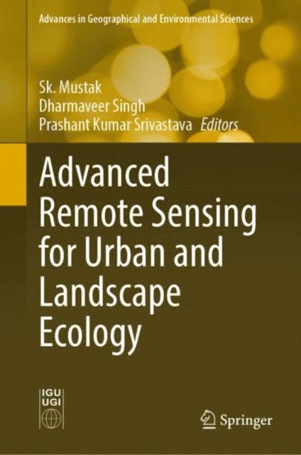
Advanced Remote Sensing for Urban and Landscape Ecology
Av Sk. Mustak, Dharmaveer Singh m. fl.
Häftad, 2024
1727 kr
Lägg i varukorg
This book introduces the use of various remote sensing data such as microwave, hyperspectral and very high-resolution (VHR) satellite imagery; mapping techniques including pixel and object-based machine learning; and geostatistical modelling techniques including cellular automation, entropy and …