Soumendu Chatterjee – författare
1 477 kr
Skickas inom 10-15 vardagar
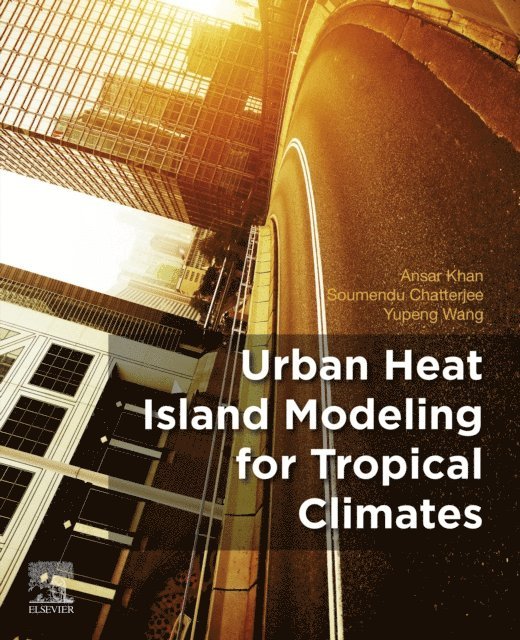
Urban Heat Island Modeling for Tropical Climates takes into account the different urban physics in tropical environments, presenting a way of UHI scaling for tropical cities. Topics include measuring, modeling and proper mitigation strategies, which account for the surface energy balance of tropics. Tropical cities are more susceptible to the effects of projected global warming because of conditions in tropical climates and the rapid growth of so many cities in this zone. The need for research on measuring, modeling and mitigation of UHI effects in tropical cities is of growing importance.
This book walks through the basics of Urban Heat Islands, including causes, measurement and analysis then expands upon issues as well as the novel techniques that can be used to address issues specific to the region.
Reviews topics related to understanding the fundamentals of modeling and impacts of urban heat islands Covers many techniques, from remote sensing, to numerical modeling and then applying them to urban climate studies in general, and in tropical cities Describes the scaling of urban heat islands based on long-term seasonal thermal parameters as feature-based classification systems using a probabilistic and fuzzy logic approach, unlike local climate zones (LCZs)2 047 kr
Läs direkt efter köp
543 kr
Skickas inom 10-15 vardagar
712 kr
Läs direkt efter köp
This book discusses the perceptions and sketches, geological background, materials and coastal processes of the East Coast of India. It also suggests strategies for effectively managing natural coastal processes in these areas. India has a coastline of about 7,516 km with a variety of coastal extensions, which developed at different time scales, producing permanent variations in the morphologies of the coastal areas through hydrodynamic, fluvial, aeolian and terrestrial processes. The book focuses on the Balasore coast, an area drained by three main rivers (the Subarnarekha, the Dugdeugi and the Burahbolong), which impacts the coastal morphodynamic processes of the area and accounts for their multifaceted nature.
Large drops or increases in the sediment supply within a short time span or over prolonged periods cause shoreline shifting. Eight satellite images from 1975, 1980, 1990, 1995, 2000, 2005, 2010 and 2013 were used to measure the shoreline dynamics, and a reference linewas established using first order polynomial model with base data with 0.5 pixel root mean square error (RMSE) accuracy. The end point rate (EPR) model was adopted for estimating the future position of the shoreline. In order to assess the beach morphodynamics, the coastal modeling system (SMC) was used, which incorporates with a series of appliances and numerical models structured consistent with the space and time scale of the different dynamics affecting the littoral and beach morphology based on diverse thematic and reference documents. This study employed short-term analysis using the MOPLA module of the SMC system, which consists of three attached modules: the wave transformation module (Oluca), the depth-averaged currents module (Copla) and the sediment transport and morphological evolution module (Eros).
The shoreline dynamics findings show that the magnitude of erosion is higher in the northern part of the coastline in the left bank area of the Subarnarekha river estuary and in the estuarine part of the Dugdugi and Burahbalang rivers. The southern part of the shoreline near Rasalpur and Joydevkasba is relatively stable, and the study suggests that the current shoreline shift trend will continue in the future. The SMC model indicates that the wave height, significant wave height, current velocity and the potential transport of sediment at the Kirtaniya study point are high, while at Choumukh they are low and at the Rasalpur study point they are intermediate.
543 kr
Skickas inom 10-15 vardagar
712 kr
Läs direkt efter köp
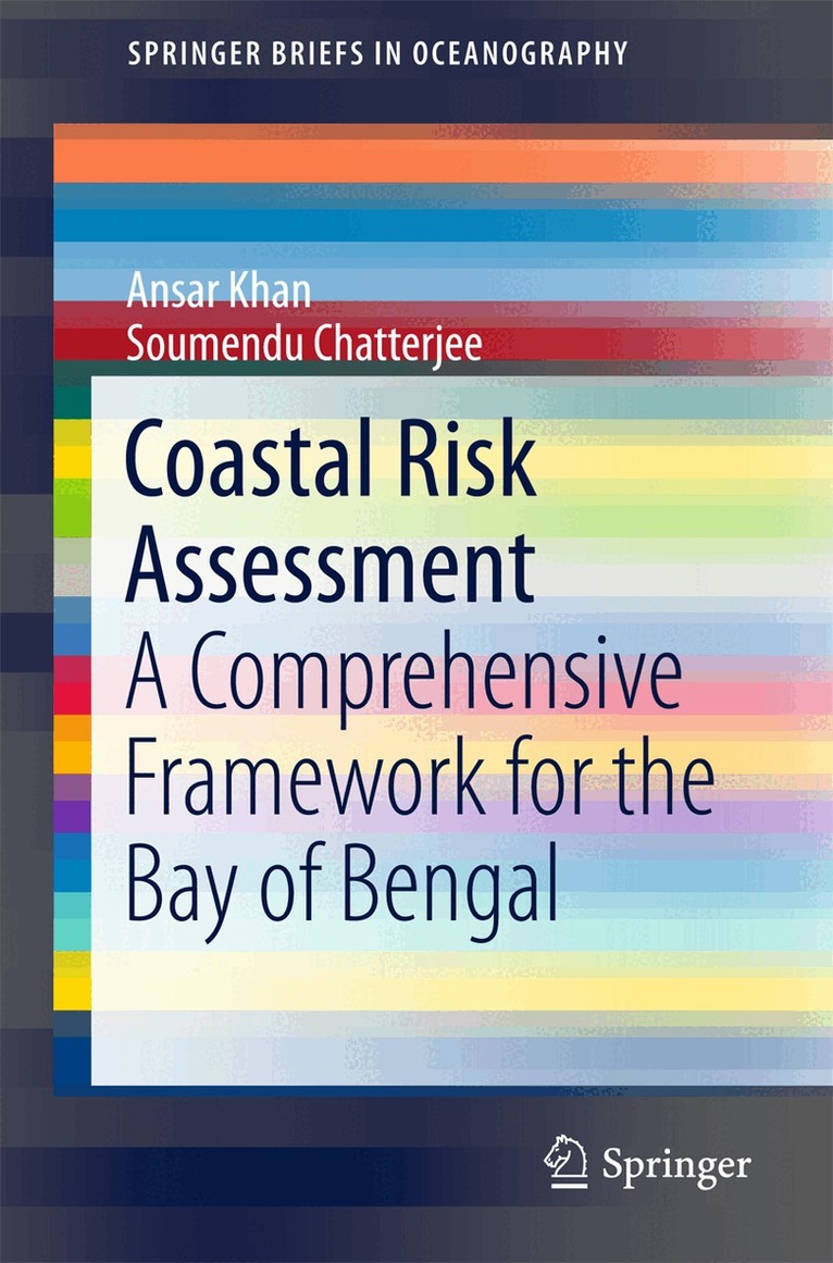
This book discusses how to collect data and analyze databases in order to map risk zones, and contributes to developing a conceptual framework for coastal risk assessment. Further, the book primarily focuses on a specific case study: the Bay of Bengal along the southeastern coast of India. The dramatic rise in losses and casualties due to natural disasters like wind, storm-surge-induced flooding, seismic hazards and tsunami incidence along this coast over the past few decades has prompted a major national scientific initiative investigating the probable causes and possible mitigation strategies. As such, geoscientists are called upon to analyze the coastal hazards by anticipating the changes in and impacts of extreme weather hazards on the Bay of Bengal coasts as a result of global climate change and local sea-level change.
1 059 kr
Skickas inom 5-8 vardagar
1 059 kr
Skickas inom 5-8 vardagar
1 059 kr
Skickas inom 5-8 vardagar
1 022 kr
Skickas inom 5-8 vardagar
1 059 kr
Skickas inom 5-8 vardagar
1 079 kr
Skickas inom 10-15 vardagar
1 340 kr
Läs direkt efter köp
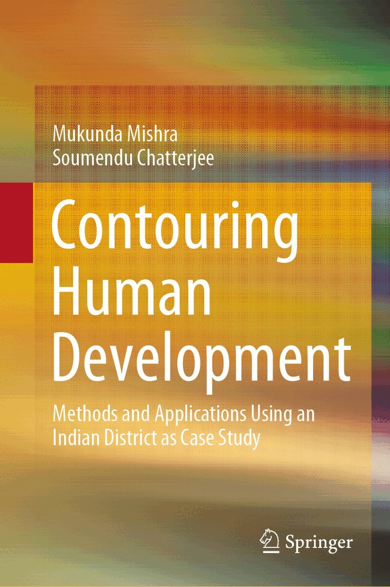
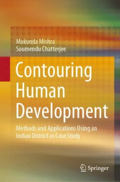
This book acquaints readers with a range of techniques to help them effectively identify, record, map, analyze and report on patterns in various dimensions of human development (HD) with spatial scales down to the village level. It is impossible to capture HD at the local and global scale with only a single index, because differences in HD at the international scale are caused by ‘general’ factors, whereas local-scale differences are influenced by ‘specific’ factors. This book offers a variety of methods for scientifically mapping HD at any spatial scale. It covers how to rationally select variables; how to test the models; how to validate the results, and how to analyze them. For this purpose, it employs a case study on an Indian district.
The socio-economic factors regulating the patterns of HD are now more complex than they were only a few decades ago, making it essential to incorporate newer models in order to successfully ‘replicate’ the real-world situation. Accordingly, the book offers essential methodological tools & techniques for mapping HD. It sheds new light on a handful of statistical multivariate analysis and machine learning algorithms that are rarely used in the social sciences when dealing with HD, yet have sound mathematical and statistical bases. These techniques can be successfully used for predictive analysis in the earth & natural sciences, decision sciences and management disciplines, and are equally effective in terms of capturing, predicting and projecting the composite HD ‘landscape.’
This book will especially benefit two groups of readers: firstly, HD practitioners who want to find out ‘why some areas are doing better than others’ by exploring the complex interactions of spatially linked variables with different HD parameters. And secondly, practitioners in other branches of the social sciences who are not concerned with HD but are looking for ‘hands-on training’ with techniques they can apply in their respectivefield of spatial investigations.
1 079 kr
Skickas inom 10-15 vardagar
1 723 kr
Skickas inom 10-15 vardagar
2 130 kr
Läs direkt efter köp
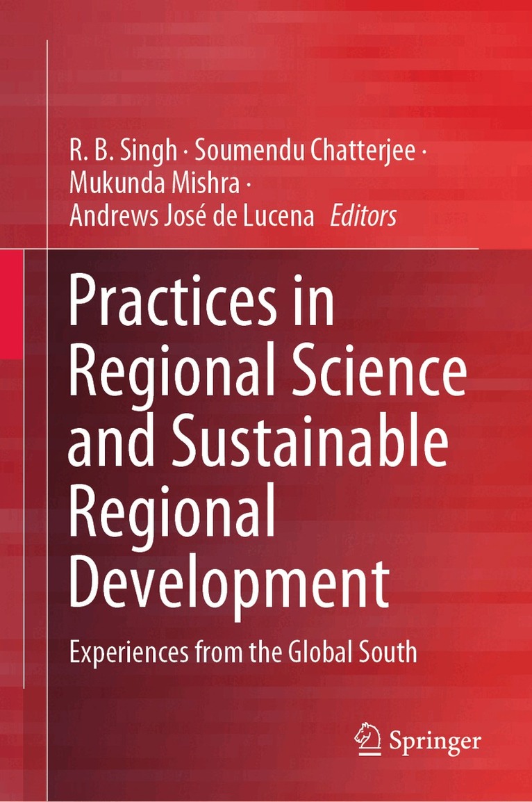
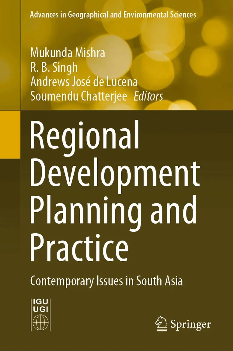
Through its contributions, the book addresses development issues, regional impact of climate change, social justice, migration, well-being, livelihood vulnerabilities, and regional urban-environmental issues from the standpoint of regional science. It is a significant resource for researchers of spatial science, and policy makers.
1 723 kr
Skickas inom 10-15 vardagar
1 616 kr
Skickas inom 10-15 vardagar
2 049 kr
Läs direkt efter köp
1 616 kr
Skickas inom 10-15 vardagar