• Fri frakt över 249 kr
  • •
  • Snabba leveranser
  • •
  • Billiga böcker
Kundservice

Du är på sajten för privatpersoner.

Företag, bibliotek eller offentlig verksamhet?

Du handlar på classic.bokus.com, där alla dina funktioner finns intakta.
Till classic.bokus.com
Bokus logotyp. Gå till startsidan.
  • Erbjudanden
  • Nyheter
  • Student
  • Topplistor
  • Barn & ungdom
  • Bokus Play
  • E-böcker
  • Pocketböcker
  • Spel & pussel

10% rabatt på allt med kod NYSTART10 →

Sidfot

Mina sidor

    Hjälp

    • Kundservice
    • Vanliga frågor och svar
    • Frakt och leverans
    • Retur vid ångerrätt
    • Reklamera vara
    • Betalning
    • Köpvillkor
    • Allmänna villkor
    • Information om webbplatsens tillgänglighet

    Om Bokus

    • Om oss
    • Pressrum
    • För studenter
    • För företag
    • För bibliotek och offentlig verksamhet
    • För leverantörer
    • Hållbarhet

    Populärt

    • Aktuella erbjudanden
    • Presentkort
    • Studentlitteratur
    • Nya böcker
    • Topplistor
    • Signerade böcker
    • Engelska böcker

    Inspiration

    • Boktips
    • BookTok
    • Populära bokserier
    • Barnbokskaraktärer
    • Populära författare
    Logotyp för Bokus
    Följ oss på Facebook (extern länk)Följ oss på Instagram (extern länk)Följ oss på YouTube (extern länk)Följ oss på TikTok (extern länk)
    bokus @ CookiesAnpassa cookiesIntegritetspolicyKöpvillkor
    Till Citymail hemsida (extern länk)Till Budbee hemsida (extern länk)Till Postnord hemsida (extern länk)Till Schenker hemsida (extern länk)Till Early Bird hemsida (extern länk)Till Walleys hemsida (extern länk)
    1. Naturvetenskap och teknik
    2. Geovetenskap
    3. Miljövetenskap och miljöpolitik

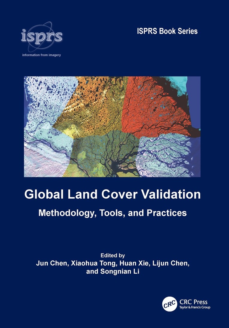
    Global Land Cover Validation

    Methodology, Tools, and Practices

    AvJun Chen,Xiaohua Tong

    Inbunden, Engelska, 2025

    Del i serien ISPRS Book Series

    2 058 kr

    Beställningsvara. Skickas inom 10-15 vardagar. Fri frakt över 249 kr.

    Beskrivning

    This book aims to summarize and report the major research achievements and validation results under the global land cover (GLC) initiative led by the Group Earth Observation (GEO). The first part of the book introduces the major tasks and challenges facing the validation of finer-resolution GLC maps and presents the concepts and overall framework of the GEO-led initiative. Chapters 2-5 provide systematic introductions to the major methodology of finer-resolution GLC map validation, including sampling design, reference data collection, sample labeling, and accuracy assessment. Chapter 6 introduces the online validation tools that have been developed, including their design, considerations, and functionalities. Chapter 7 presents the international validation practices and the results of validating GlobeLand30 at country, regional, and global scales. Future directions are also discussed in the Conclusion chapter.FeaturesPresents complete coverage of land cover validation, from concepts, methodology, and col­ laborative tools to applications.Details algorithms, techniques, and methods for land cover validation, including sampling, judgment, and accuracy assessment.Reviews some of the software tools that can be used for GLC validation and discusses the issues related to the design, usability, efficiency, and limitations of these tools.Highlights case studies of validation at global, regional, and national scales, which can serve as great references for researchers.Provides an extensive bibliography covering the whole scope of land cover validationGlobal Land Cover Validation: Methodology, Tools, and Practices serves as a reference for those engaged in land cover validation, especially at a global scale, including students, professionals, researchers, and general practitioners. It is also an excellent resource for professionals involved in sustainable development monitoring, environmental change studies, natural resource management, disaster assessment and mitigation, and many other applications.

    Produktinformation

    • Utgivningsdatum:2025-01-30
    • Mått:178 x 254 x 19 mm
    • Vikt:700 g
    • Format:Inbunden
    • Språk:Engelska
    • Serie:ISPRS Book Series
    • Antal sidor:248
    • Förlag:Taylor & Francis Ltd
    • ISBN:9781032903989

    Utforska kategorier

    • Miljövetenskap och miljöpolitik inom Naturvetenskap och teknik
    • Geografi inom Naturvetenskap och teknik
    • Hydrologi inom Naturvetenskap och teknik

    Mer om författaren

    Jun Chen is a leading scientist in geomatics at the Ministry of Natural Resources of China. He became a GIS professor at Wuhan Technical University in the early 1990s and subsequently served as the President of the National Geomatics Center of China. He has led the development of the world’s first 30-m global land cover map, GlobeLand30. He served as the President of the International Society of Photogrammetry and Remote Sensing and co-lead of the GEO global land cover task. He is now an honorary member of ISPRS, a fellow of the International Scientific Council, and a member of the Chinese Academy of Engineering.Dr. Xiaohua Tong is a Professor and Vice President at the Tongji University, China. He received his Ph.D. degree from Tongji University in 1999. From 2001 to 2003, he was a Post-Doctoral Researcher with the State Key Laboratory of Information Engineering in Surveying, Mapping, and Remote Sensing, at Wuhan University, China. He was a Research Fellow at Hong Kong Polytechnic University in 2006, and a Visiting Scholar at the University of California, USA from 2008 to 2009. He is a member of the Chinese Academy of Engineering. His research interests include trust in spatial data, earth and planetary photogrammetry, and remote sensing.Dr. Huan Xie is a Professor and the Dean at the College of Surveying and Geo-Information at the Tongji University, China. She received her B.S. degree in Surveying Engineering, and M.S. and Ph. D. degrees in Cartography and Geoinfomation from Tongji University, China, in 2003, 2006, and 2009, respectively. From 2007 to 2008, she was with the Institute of Photogrammetry and GeoInformation, Leibniz Universität Hannover, Germany as a visiting scholar. Her research interests include spatial data sampling, data quality of satellite laser altimetry, and fusion of remote sensing Data.Dr. Lijun Chen has been a senior engineer at the National Geomatics Center of China since 2001. He received his Ph.D. Degree from the State Key Laboratory of Resources and Environmental Information System, Institute of Geographic Sciences and Natural Resources Research, Chinese Academy of Sciences in 2001, specializing in Geographic Information Systems and Cartography. At present, he is mainly engaged in scientific research and engineering practice in photogrammetry and remote sensing. He is one of the main developers of GlobeLand30, a global land cover data product.Dr. Songnian Li is a professor of Geomatics Engineering in the Department of Civil Engineering at Toronto Metropolitan University. He holds a Ph.D. degree from the University of New Brunswick, Canada. Prof. Li served on the council of the International Society for Photogrammetry and Remote Sensing (ISPRS) (2016-2022), was a twice-invited Researcher by the Japan Society for the Promotion of Science, and received the 2016 ISPRS U.V. Helava Best Paper Award. He is an ISPRS Fellow and the Executive Editor-in-Chief of Big Earth Data journal. His current research focuses on geospatial big data, spatiotemporal analysis, human mobility, geo-collaboration, and smart cities (digital twins).

    Innehållsförteckning

    • 1. Introduction. 2. Sampling Design. 3. Reference Data. 4. Sample Judgement. 5. Accuracy Assessment. 6. Software Tools for Validation. 7. Collaborative GlobeLand30 Validation. 8. Conclusion.