• Fri frakt över 249 kr
  • •
  • Snabba leveranser
  • •
  • Billiga böcker
Kundservice

Du är på sajten för privatpersoner.

Företag, bibliotek eller offentlig verksamhet?

Du handlar på classic.bokus.com, där alla dina funktioner finns intakta.
Till classic.bokus.com
Bokus logotyp. Gå till startsidan.
  • Erbjudanden
  • Student
  • Topplistor
  • Barn & ungdom
  • Bokus Play
  • E-böcker
  • Ljudböcker
  • Pocketböcker
  • Spel och pussel

Pocketfynda! Hundratals böcker för 49 kr/st →

Sidfot

Mina sidor

    Hjälp

    • Kundservice
    • Vanliga frågor och svar
    • Frakt och leverans
    • Retur vid ångerrätt
    • Reklamera vara
    • Betalning
    • Köpvillkor
    • Allmänna villkor
    • Information om webbplatsens tillgänglighet

    Om Bokus

    • Om oss
    • Pressrum
    • För studenter
    • För företag
    • För bibliotek och offentlig verksamhet
    • För leverantörer
    • Hållbarhet

    Populärt

    • Aktuella erbjudanden
    • Presentkort
    • Studentlitteratur
    • Nya böcker
    • Topplistor
    • Signerade böcker
    • Engelska böcker

    Inspiration

    • Boktips
    • BookTok
    • Barnbokskaraktärer
    • Populära författare
    Logotyp för Bokus
    Följ oss på Facebook (extern länk)Följ oss på Instagram (extern länk)Följ oss på YouTube (extern länk)Följ oss på TikTok (extern länk)
    bokus @ CookiesAnpassa cookiesIntegritetspolicyKöpvillkor
    Till Citymail hemsida (extern länk)Till Budbee hemsida (extern länk)Till Postnord hemsida (extern länk)Till Schenker hemsida (extern länk)Till Early Bird hemsida (extern länk)Till Walleys hemsida (extern länk)
    1. Medicin
    2. Medicin: allmänt
    3. Samhällsmedicin och preventiv medicin
    4. Epidemiologi och medicinsk statistik

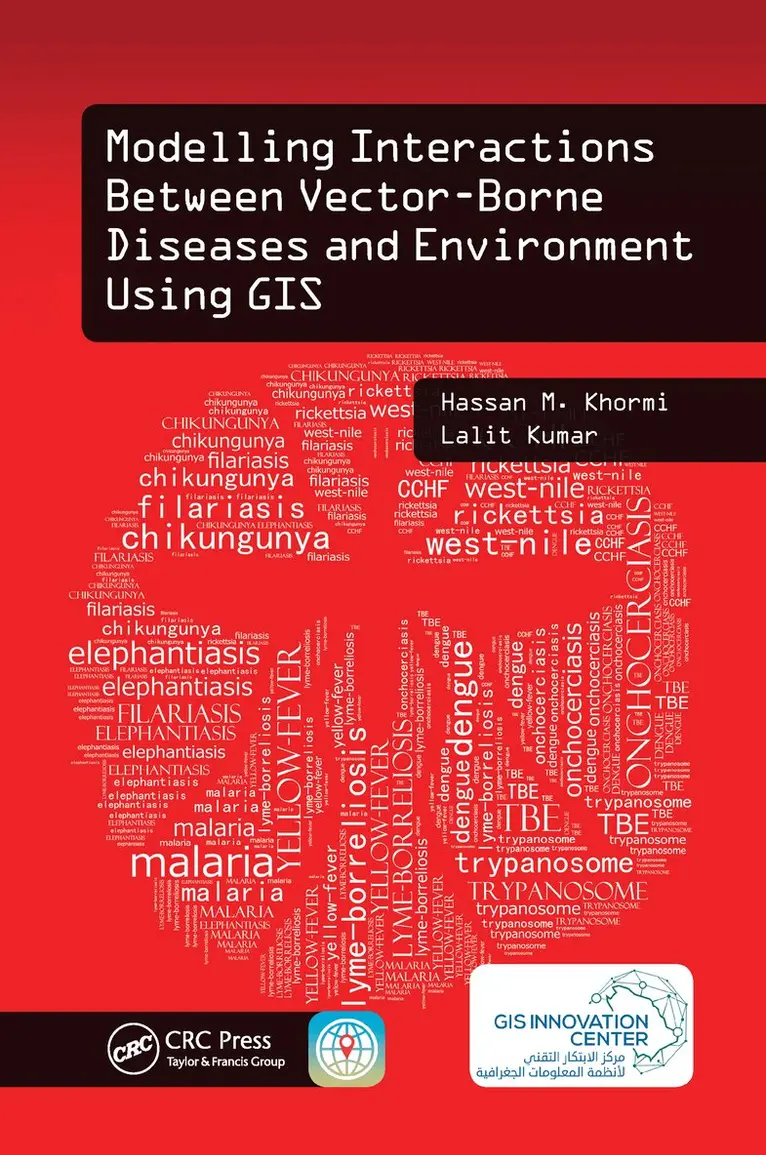
    Modelling Interactions Between Vector-Borne Diseases and Environment Using GIS

    AvHassan M. Khormi,Lalit Kumar

    Häftad, Engelska, 2021

    1 173 kr

    Beställningsvara. Skickas inom 10-15 vardagar. Fri frakt över 249 kr.

    Fler format och utgåvor

    Inbunden

    2 713 kr

    Beskrivning

    Master GIS Applications on Modelling and Mapping the Risks of DiseasesInfections transmitted by mosquitoes, ticks, triatomine bugs, sandflies, and black flies cause significant rates of death and disease, especially in developing countries. Why are certain places more susceptible to vector-borne diseases? Modelling Interactions Between Vector-Borne Diseases and Environment Using GIS reveals how using geographic information systems (GISs) can provide a greater understanding of how vector-borne diseases are spread and explores the use of geographical techniques in vector-borne disease monitoring, management, and control. This text provides readers with a better understanding of the vector-borne disease problem and its impact on public health. Introduces New Spatial Approaches Based on Location and EnvironmentThe book exposes readers to information on how to identify vector hotspots, determine when and where they can occur, and eliminate vector breeding sites. Utilizing simple illustrations based on real data, as well as the authors’ more than 20 years of experience in the field, this text combines key spatial analysis techniques available in modern GIS with real-world applications. It offers step-by-step instruction on developing vector-borne disease risk models at different spatial and temporal scales and helps practitioners formulate disease causation hypotheses and identify areas at risk. In addition, it addresses medical geography, GIS, spatial analysis, and modelling, and covers other factors related to the spread of vector-borne diseases.This book: Gives an overview of common vector-borne diseases, GIS-based mapping and modelling, impacts of climate change on vector distributions, and availability and importance of accurate epidemiologically relevant spatial dataDescribes modelling and simulating the prevalence of vector-borne diseases around the worldSummarizes some key spatial techniques and how they can be used to aid in the analysis of geographical and attributed dataDefines the concept of establishing and characterizing spatial data systems, including their quality, errors, references, and issues of scale, and building such a system from often quite separate, disparate sourcesShows how to develop weather-based predictive modelling, which can be used to predict the weekly trend of vector abundanceProvides a GIS case study for modelling the future potential distribution of vector-borne disease based on different climatic change scenariosModelling Interactions Between Vector-Borne Diseases and Environment Using GIS combines spatial analysis techniques available in modern GIS, together with real-world applications to provide you with a better understanding of ways to map, model, prevent, and control vector-borne diseases.

    Produktinformation

    • Utgivningsdatum:2021-03-31
    • Mått:156 x 234 x 15 mm
    • Vikt:480 g
    • Format:Häftad
    • Språk:Engelska
    • Antal sidor:262
    • Förlag:Taylor & Francis Ltd
    • ISBN:9781138597235

    Utforska kategorier

    • Epidemiologi och medicinsk statistik inom Medicin
    • Geografi inom Naturvetenskap och teknik
    • Miljövetenskap och miljöpolitik inom Naturvetenskap och teknik

    Mer om författaren

    Dr. Hassan M. Khormi is an assistant professor in the Department of Geography, Umm Al-Qura University (UQU), where he teaches geographic information systems (GISs) and remote sensing. Also, Dr. Hassan is a Vice Dean of the Institute of Consulting Research and Studies. In early 2013, he accepted his position as assistant professor in the Department of Geography and as deputy director of the GIS Technology Innovation Centre for administrative affairs. He is also a consultant (part-time) at Jeddah Municipality and an adjunct lecturer in the School of Environment and Rural Science, University of New England, Australia. His main research interests are in the fields of environmental modelling and GIS applications on vector-borne diseases. Dr. Lalit Kumar is an associate professor of spatial information technologies at the University of New England in Australia. He comes from Fiji, where he undertook his undergraduate and postgraduate studies in environmental science. Dr Kumar’s expertise is in the use of GISs and remote-sensing technologies for mapping and modelling the environment, particularly natural resources and agricultural systems. In addition, he has contributed to over 150 publications, with over 100 journal articles in international peer-reviewed journals. Dr. Kumar is also an associate editor for the journal ISPRS Journal of Photogrammetry and Remote Sensing and an academic editor for PLoS ONE.

    Recensioner i media

    "… really a good book. … adds new information and experiences to the fields of medical geography, environmental impacts, and GIS analysis as a decision support system.—Gomaa Mohamed Dawod, Survey Research Institute, Giza, Egypt"… presented in a logical, simple to understand manner. Practical examples that are conxtualised to GIS techniques were used, making the story line relevant and ready to use by decision makers."—Prof Onisimo Mutanga, University of KwaZulu Natal

    Innehållsförteckning

    • Introduction. Modelling and Simulating the Prevalence of Vector-Borne Diseases Around the World and Efforts for Combat and Control. Cartographies and Maps of Vector-Borne Diseases. Spatial Data. Common Spatial Methods for Modelling and Analyzing Spatial and Temporal Patterns and Distributions of Mosquito-Borne Diseases. Spatial Variation Risk. Modelling Associations between Mosquito-Borne Diseases and Environmental and Socioeconomic Factors. Global Climate Change and Modelling the Potential Distribution of Vector-Borne Disease. Conclusion.