E-bok, Engelska, 2016
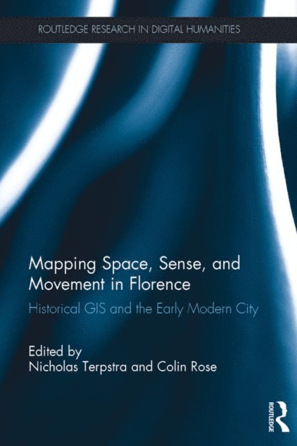
Mapping Space, Sense, and Movement in Florence
Av Colin Rose, Nicholas Terpstra
873 kr
Läs direkt i Bokus Reader – eller ladda ned till din enhet (PDF kräver ofta zoom och scroll på små skärmar).
Beskrivning
Mapping Space, Sense, and Movement in Florence explores the potential of digital mapping or Historical GIS as a research and teaching tool to enable researchers and students to uncover the spatial, kinetic and sensory dimensions of the early modern city.
The exploration focuses on new digital research and mapping projects that engage the rich social, cultural, and artistic life of Florence in particular. One is a new GIS tool known as DECIMA, (Digitally-Encoded Census Information and Mapping Archive), and the other is a smartphone app called Hidden Florence. The international collaborators who have helped build these and other projects address three questions: how such projects can be created when there are typically fewer sources than for modern cities; how they facilitate more collaborative models for historical research into social relations, senses, and emotions; and how they help us interrogate older historical interpretations and create new models of analysis and communication. Four authors examine technical issues around the software programs and manuscripts. Five then describe how GIS can be used to advance and develop existing research projects. Finally, four authors look to the future and consider how digital mapping transforms the communication of research results, and makes it possible to envision new directions in research.
This exciting new volume is illustrated throughout with maps, screenshots and diagrams to show the projects at work. It will be essential reading for students and scholars of early modern Italy, the Renaissance and digital humanities.
Produktinformation
- Utgivningsdatum: 2016-02-05
- Språk: Engelska
- Filformat: PDF
- Kopieringsskydd: LCP
- ISBN: 9781317273660
- Förlag: Taylor & Francis
Utforska kategorier
Betyg & recensioner
0 recensioner
Inga recensioner tillgängliga.