Häftad, Engelska, 2002
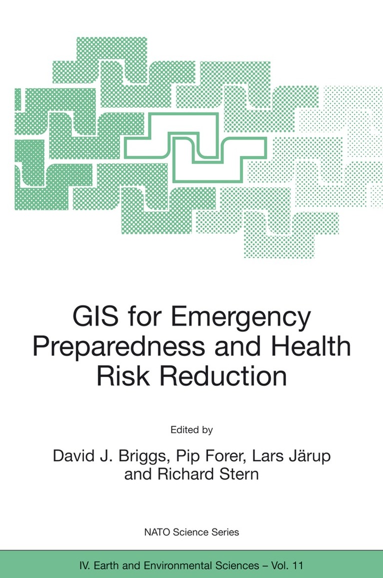
GIS for Emergency Preparedness and Health Risk Reduction
Av David J. Briggs, NATO Advanced Research Workshop on GIS f, David J. Briggs, Pip Forer, Lars Järup, Richard Stern
1706 kr
Skickas inom 10-15 vardagar
Beskrivning
Geographical Information Systems (GIS) have developed rapidly in recent years and now provide powerful tools for the capture, manipulation, integration, interrogation, modelling, analysis and visualisation of data - tools that are already used for policy support in a wide range of areas at almost all geographic and administrative levels. This holds especially for emergency preparedness and health risk reduction, which are all essentially spatial problems. To date, however, many initiatives have remained disconnected and uncoordinated, leading to less powerful, less compatible and less widely implemented systems than might otherwise have been the case. The important matters discussed here include the probabilistic nature of most environmental hazards and the semi-random factors that influence interactions between these and human exposures; the effects of temporal and spatial scales on hazard assessment and imputed risk; the effects of measurement error in risk estimation and the stratification of risks and their impacts according to socioeconomic characteristics; and the quantification of socioeconomic differences in vulnerability and susceptibility to environmental hazards.
Produktinformation
- Utgivningsdatum: 2002-08-31
- Mått: 160 x 240 x 19 mm
- Vikt: 551 g
- Format: Häftad
- Språk: Engelska
- Antal sidor: 326
- Förlag: Kluwer Academic Publishers
- Serie: NATO Science Series: IV:
- ISBN: 9781402007996
Utforska kategorier
Betyg & recensioner
0 recensioner
Inga recensioner tillgängliga.