• Fri frakt över 249 kr
  • •
  • Snabba leveranser
  • •
  • Billiga böcker
Kundservice

Du är på sajten för privatpersoner.

Företag, bibliotek eller offentlig verksamhet?

Du handlar på classic.bokus.com, där alla dina funktioner finns intakta.
Till classic.bokus.com
Bokus logotyp. Gå till startsidan.
  • Erbjudanden
  • Nyheter
  • Student
  • Topplistor
  • Barn & ungdom
  • Bokus Play
  • E-böcker
  • Pocketböcker
  • Spel & pussel

10% rabatt på allt med kod NYSTART10 →

Sidfot

Mina sidor

    Hjälp

    • Kundservice
    • Vanliga frågor och svar
    • Frakt och leverans
    • Retur vid ångerrätt
    • Reklamera vara
    • Betalning
    • Köpvillkor
    • Allmänna villkor
    • Information om webbplatsens tillgänglighet

    Om Bokus

    • Om oss
    • Pressrum
    • För studenter
    • För företag
    • För bibliotek och offentlig verksamhet
    • För leverantörer
    • Hållbarhet

    Populärt

    • Aktuella erbjudanden
    • Presentkort
    • Studentlitteratur
    • Nya böcker
    • Topplistor
    • Signerade böcker
    • Engelska böcker

    Inspiration

    • Boktips
    • BookTok
    • Populära bokserier
    • Barnbokskaraktärer
    • Populära författare
    Logotyp för Bokus
    Följ oss på Facebook (extern länk)Följ oss på Instagram (extern länk)Följ oss på YouTube (extern länk)Följ oss på TikTok (extern länk)
    bokus @ CookiesAnpassa cookiesIntegritetspolicyKöpvillkor
    Till Citymail hemsida (extern länk)Till Budbee hemsida (extern länk)Till Postnord hemsida (extern länk)Till Schenker hemsida (extern länk)Till Early Bird hemsida (extern länk)Till Walleys hemsida (extern länk)
    1. Naturvetenskap och teknik
    2. Teknik och industri
    3. Transportteknik
    4. Flyg- och rymdteknik

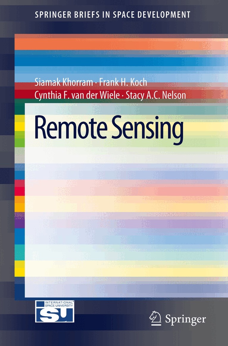
    Remote Sensing

    AvSiamak Khorram,Frank H. Koch

    Häftad, Engelska, 2012

    Del i serien SpringerBriefs in Space Development

    546 kr

    Beställningsvara. Skickas inom 10-15 vardagar. Fri frakt över 249 kr.

    Beskrivning

    Remote Sensing provides information on how remote sensing relates to the natural resources inventory, management, and monitoring, as well as environmental concerns. It explains the role of this new technology in current global challenges. "Remote Sensing" will discuss remotely sensed data application payloads and platforms, along with the methodologies involving image processing techniques as applied to remotely sensed data. This title provides information on image classification techniques and image registration, data integration, and data fusion techniques. How this technology applies to natural resources and environmental concerns will also be discussed.

    Produktinformation

    • Utgivningsdatum:2012-02-29
    • Mått:155 x 235 x 9 mm
    • Vikt:230 g
    • Format:Häftad
    • Språk:Engelska
    • Serie:SpringerBriefs in Space Development
    • Antal sidor:134
    • Förlag:Springer-Verlag New York Inc.
    • ISBN:9781461431022

    Utforska kategorier

    • Flyg- och rymdteknik inom Naturvetenskap och teknik
    • Geografi inom Naturvetenskap och teknik
    • Rymdforskning inom Naturvetenskap och teknik

    Mer om författaren

    Siamak Khorram has joint appointments as a Professor in Geospatial Sciences at both the University of California (Berkeley) and North Carolina State University. He is Founding Director of the Center for Earth Observation, North Carolina State University. A former Vice President of Academic Programs and Dead of the International Space University (ISU) as well as former Chair of the ISU's Academic Council. Dr. Khorram has authored over 200 publications in peer-reviewed journals and written many major technical reports. He is also a member of several professional and scientific societies. His Ph.D. is awarded jointly by the University of California at Berkeley and Davis. Stacy A. C. Nelson is currently an Associate Professor and a researcher with the Center for Earth Observation at North Carolina State University. Dr. Nelson received a B.S. from Jackson State University, a M.A. from the College of William and a Ph.D. from Michigan State University. His research centers on GIS technologies to address questions of land use and aquatic systems. He has worked with several federal and state agencies including; the Stennis Space Center in Mississippi, the NASA-Regional Earth Science Applications Center (RESAC), and two Departments of Environmental Quality at the state level. He is active in several professional societies. Frank H. Koch - Dr. Koch is a Research Ecologist with the USDA Forest Service. Previously, he was a Research Assistant Professor at North Carolina State University. His primary area of research is alien forest pest invasions. Specifically, he is interested in the spatio-temporal dynamics of invasions at national and continental scales. This multidisciplinary work involves GIS, remote sensing, statistics, and spatial simulation modeling. Dr. Koch regularly collaborates with other USDA Forest Service scientists as well as researchers from the Canadian Forest Service, the USDA Animal and Planet Health Inspection Service, and several universities. He has authored numerous journal articles and other publications. Dr. Koch received his BA from Duke University and his M.S. and Ph.D. from North Carolina State University. Cynthia F. Van Der Wiele is currently principle of The Calapogon Group, LLC, Raleigh, North Carolina. She also serves as a research associate at North Carolina State University. Her research focuses on the development of high-accuracy land use/land cover classifications for analyses and improved land use planning policies. Dr. Van Der Wiele received her B.S. and a Masters degree from North Carolina State University, and two Masters degrees from Duke University. She received her Ph.D. in community and environmental design from North Carolina State University and has performed landscape change analyses of the Research Triangle region of North Carolina.

    Innehållsförteckning

    • Data Acquisition.- Data Processing Tools.- Case Study Applications of Remote Sensing in Earth Observation.- Political and Application Trends at International and National Levels.- Future Trends in Remote Sensing.- Concluding Remarks.