• Fri frakt över 249 kr
  • •
  • Snabba leveranser
  • •
  • Billiga böcker
Kundservice

Du är på sajten för privatpersoner.

Företag, bibliotek eller offentlig verksamhet?

Du handlar på classic.bokus.com, där alla dina funktioner finns intakta.
Till classic.bokus.com
Bokus logotyp. Gå till startsidan.
  • Erbjudanden
  • Nyheter
  • Student
  • Topplistor
  • Barn & ungdom
  • Bokus Play
  • E-böcker
  • Pocketböcker
  • Spel & pussel

10% studentrabatt med kod TERM26

Sidfot

Mina sidor

    Hjälp

    • Kundservice
    • Vanliga frågor och svar
    • Frakt och leverans
    • Retur vid ångerrätt
    • Reklamera vara
    • Betalning
    • Köpvillkor
    • Allmänna villkor
    • Information om webbplatsens tillgänglighet

    Om Bokus

    • Om oss
    • Pressrum
    • För studenter
    • För företag
    • För bibliotek och offentlig verksamhet
    • För leverantörer
    • Hållbarhet

    Populärt

    • Aktuella erbjudanden
    • Presentkort
    • Studentlitteratur
    • Nya böcker
    • Topplistor
    • Signerade böcker
    • Engelska böcker

    Inspiration

    • Boktips
    • BookTok
    • Populära bokserier
    • Barnbokskaraktärer
    • Populära författare
    Logotyp för Bokus
    Följ oss på Facebook (extern länk)Följ oss på Instagram (extern länk)Följ oss på YouTube (extern länk)Följ oss på TikTok (extern länk)
    bokus @ CookiesAnpassa cookiesIntegritetspolicyKöpvillkor
    Till Citymail hemsida (extern länk)Till Budbee hemsida (extern länk)Till Postnord hemsida (extern länk)Till Schenker hemsida (extern länk)Till Early Bird hemsida (extern länk)Till Walleys hemsida (extern länk)
    1. Historia och arkeologi
    2. Arkeologi
    3. Arkeologiska perioder och områden

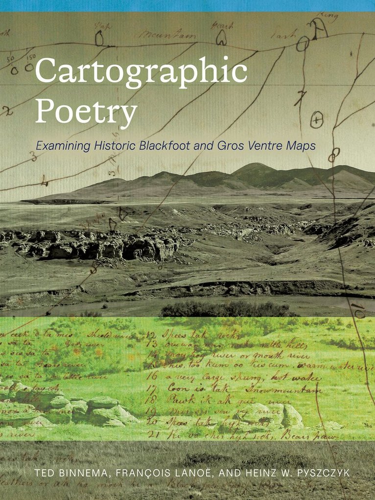
    Cartographic Poetry

    Examining Historic Blackfoot and Gros Ventre Maps

    AvTed Binnema,François Lanoë

    Häftad, Engelska, 2025

    417 kr

    Skickas . Fri frakt över 249 kr.

    Beskrivning

    “Poetry is language condensed; Blackfoot cartography is landscape distilled.” Cartographic Poetry is the first book-length, multidisciplinary study of five maps drawn in 1801 and 1802 by several Blackfoot and Gros Ventre people for the Hudson’s Bay Company. Representing some of the oldest documents created by Indigenous people on the North American prairies and foothills, these maps preserve invaluable evidence about places on the landscape, and about historic Blackfoot views of their territories. The maps were intended as navigational tools, but the landforms and locations on the maps hold significance for the Blackfoot well beyond wayfinding, and have for many centuries. Exploring their content and utility from historical, linguistic, and archaeological perspectives, Ted Binnema, François Lanoë, and Heinz W. Pyszczyk analyze the maps, their place names and features, and the tours and trips they may have supported, along with providing present-day photographs of many of the maps’ landforms. A final section of the book outlines how Indigenous maps contributed significantly to Western geographical knowledge and maps of North America from the 1500s onward. Cartographic Poetry will appeal to anthropologists, archaeologists, geographers, historians, cartographers, and to all readers interested in how Indigenous peoples perceived and navigated their territories in this early period of colonial encounter. With a Foreword by Jerry Potts Jr. and an Afterword by Dr. Eldon Yellowhorn.

    Produktinformation

    • Utgivningsdatum:2025-05-22
    • Mått:191 x 254 x 19 mm
    • Vikt:650 g
    • Format:Häftad
    • Språk:Engelska
    • Antal sidor:232
    • Förlag:University of Alberta Press
    • ISBN:9781772127997
    • Utmärkelser:Short-listed for Scholarly and Academic Book of the Year, Alberta Book Publishing Awards, Book Publishers Association of Alberta 2026 (Canada)

    Utforska kategorier

    • Arkeologiska perioder och områden inom Historia och arkeologi
    • Referensverk och tvärvetenskap inom Samhälle och politik
    • Historisk geografi inom Historia och arkeologi

    Mer om författaren

    Ted Binnema is Professor Emeritus of History at the University of Northern British Columbia. He is the author of The Vancouver Island Treaties and the Evolving Principles of Indigenous Title, Enlightened Zeal: The Hudson’s Bay Company and Scientific Networks, 1670–1870, and Common and Contested Ground: A Human and Environmental History of the Northwestern Plains. He co-edited with Gerhard Ens three volumes of The Hudson’s Bay Company Edmonton House Journals, published by the Historical Society of Alberta. He has also published scholarly articles and book chapters on a wide range of topics. His fascination with and research into Blackfoot and Gros Ventre maps dates to the 1990s. François Lanoë is Assistant Research Professor in the School of Anthropology at the University of Arizona and Research Associate at the University of Alaska Museum of the North. He works on the pre-contact archaeology of Indigenous peoples of northwestern North America, from early settlement during the last Ice Age, to interactions with Euro-American colonial powers. He has worked with tribes of the Blackfoot Confederacy since 2013, leading to several publications on Blackfoot archaeology, ancient DNA, and oral history. Heinz W. Pyszczyk, retired staff archaeologist with the Government of Alberta, is an adjunct professor at the University of Lethbridge. His primary research interest is Canadian fur trade archaeology and ethnohistory. His most recent publications include: The Last Fort Standing. Fort Vermilion and the Peace River Fur Trade, 1798-1830 and Fifty years of fur trade archaeology in northern Alberta forests: what have we accomplished? He has also published numerous articles in a wide range of topics in Canadian archaeology. As Parkland Archaeologist for the Government of Alberta, he first became interested in the Ki oo cus map in 2010 as it covered parts of his regional mandate.

    Recensioner i media

    "Cartographic Poetry is the first detailed study of these five Indigenous maps as ethnohistoric documents. The authors describe the cartographic conventions of the mapmakers and provide their identifications of the named places. Given the recent interest in the study of toponyms, this book will be a valuable resource to researchers, members of First Nations communities, and the public.” Gerald Oetelaar, Professor Emeritus, University of Calgary

    Innehållsförteckning

    • ForewordA Note on Indigenous NamesA Note on Orthography PrefaceAcknowledgements1. Learning from Early Nineteenth-Century Blackfoot Maps2. The Ac ko mok ki Map of 1801The Revised Ac ko mok ki Map of 18013. Three Indigenous Maps Drawn in 1802Ac ko mok ki’s Map of 1802Ak ko wee ak’s Map of 1802The 1802 Map by an Unidentified Cartographer(s) 4. The Ki oo cus Map of 18025. Tours and Trips on the Ac ko mok ki and Ki oo cus MapsThe War Track of 1801Ac ko mok ki’s Tour of the Old North TrailKi oo cus’s Tours of the Northwestern Plains6. Exploring the “Different Tribes” of Ac ko mok ki’s Map and the Gros Ventre mapAc ko mok ki’s “Different Tribes” The Gros Ventre’s Different Tribes7. Contributions of Indigenous Cartography to Western CartographyBibliographyAfterword