• Fri frakt över 249 kr
  • •
  • Snabba leveranser
  • •
  • Billiga böcker
Kundservice

Du är på sajten för privatpersoner.

Företag, bibliotek eller offentlig verksamhet?

Du handlar på classic.bokus.com, där alla dina funktioner finns intakta.
Till classic.bokus.com
Bokus logotyp. Gå till startsidan.
  • Erbjudanden
  • Nyheter
  • Student
  • Topplistor
  • Barn & ungdom
  • Bokus Play
  • E-böcker
  • Pocketböcker
  • Spel & pussel

10% rabatt på allt med kod: NYSTART10 →

Sidfot

Mina sidor

    Hjälp

    • Kundservice
    • Vanliga frågor och svar
    • Frakt och leverans
    • Retur vid ångerrätt
    • Reklamera vara
    • Betalning
    • Köpvillkor
    • Allmänna villkor
    • Information om webbplatsens tillgänglighet

    Om Bokus

    • Om oss
    • Pressrum
    • För studenter
    • För företag
    • För bibliotek och offentlig verksamhet
    • För leverantörer
    • Hållbarhet

    Populärt

    • Aktuella erbjudanden
    • Presentkort
    • Studentlitteratur
    • Nya böcker
    • Topplistor
    • Signerade böcker
    • Engelska böcker

    Inspiration

    • Boktips
    • BookTok
    • Populära bokserier
    • Barnbokskaraktärer
    • Populära författare
    Logotyp för Bokus
    Följ oss på Facebook (extern länk)Följ oss på Instagram (extern länk)Följ oss på YouTube (extern länk)Följ oss på TikTok (extern länk)
    bokus @ CookiesAnpassa cookiesIntegritetspolicyKöpvillkor
    Till Citymail hemsida (extern länk)Till Budbee hemsida (extern länk)Till Postnord hemsida (extern länk)Till Schenker hemsida (extern länk)Till Early Bird hemsida (extern länk)Till Walleys hemsida (extern länk)
    1. Naturvetenskap och teknik
    2. Teknik och industri
    3. Transportteknik
    4. Sjöfart och skeppsbyggnad

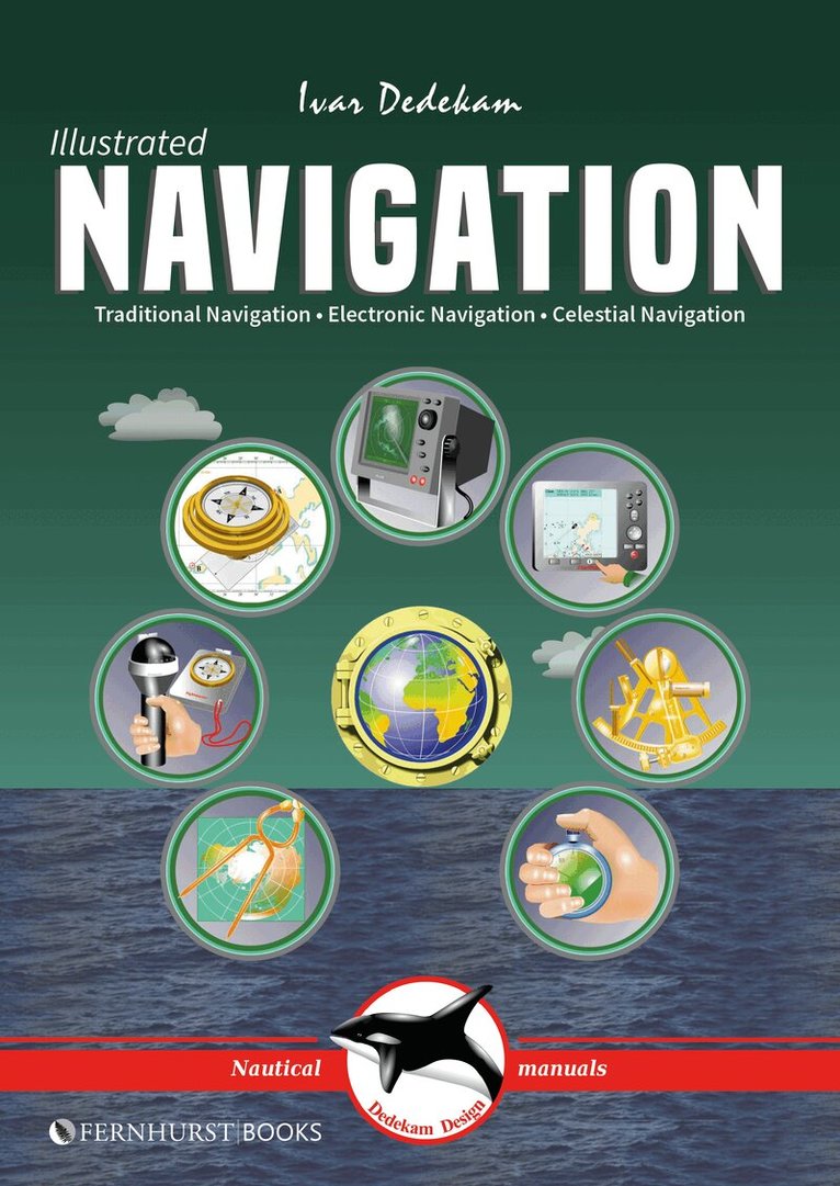
    Illustrated Navigation

    Traditional, Electronic & Celestial Navigation

    AvIvar Dedekam

    Häftad, Engelska, 2017

    Del 2 i serien Illustrated Nautical Manuals

    158 kr

    Beställningsvara. Skickas inom 5-8 vardagar. Fri frakt över 249 kr.

    Beskrivning

    Today, yachts are often equipped with radar, GPS, chart plotters, AIS, etc. This equipment has also become much more reliable, making it possible to make long offshore passages without a great knowledge of navigation. However, such equipment can be set up wrongly, interpreted incorrectly, malfunction or lose power. In these circumstances, knowledge of traditional navigation can become extremely important. This book will teach you how to navigate in the traditional way using compass, log and plotter; and also how to navigate using electronic aids like GPS, radar and chart plotter. In addition, you will learn some basic celestial navigation using the sun and stars to obtain your position using sextant, almanacs, tables and a watch. Each method of navigation is explained alongside detailed illustrations and examples, combining to make a straightforward and easy-to-follow guide. Due to the design of the book, we have had to restrict the layout of the ebook to PDF style which may result in giving you a more restricted reading experience. For this reason, we would not recommend viewing it on very small screens.

    Produktinformation

    • Utgivningsdatum:2017-04-04
    • Mått:170 x 239 x 8 mm
    • Vikt:204 g
    • Format:Häftad
    • Språk:Engelska
    • Serie:Illustrated Nautical Manuals
    • Antal sidor:88
    • Upplaga:3
    • Förlag:Fernhurst Books Limited
    • ISBN:9781909911581

    Utforska kategorier

    • Sjöfart och skeppsbyggnad inom Naturvetenskap och teknik
    • Vattensport inom Sport, fritid och hobby

    Mer om författaren

    Ivar Dedekam, of Dedekam Design, specialises in uniquely illustrated nautical manuals which are easy to understand and remember. Ivar has been sailing for over 30 years and has logged more than 50,000 nautical miles, including three Atlantic crossings. His book Illustrated Sail & Rig Tuning is an international success and has been published in 19 languages.

    Recensioner i media

    “If you’re a newbie keen to understand what’s happening on board, this could be just the thing.” (Yachting Monthly)

    Innehållsförteckning

    • Introduction; Contents; TRADITIONAL NAVIGATION: How charts are created, Latitude and longitude, Position, Using charts, Variation and deviation, Steering compass, Logs and echosounders, Plotting implements, Leeway and current, Handbearing compasses, Dead reckoning / bearings, Miscellaneous, Sailing at night, IALA buoyage system, Tide and tidal currents, Navigation lights, Summary; ELECTRONIC NAVIGATION: GPS, GPS – how does it work?, GPS receivers, Using the GPS receiver, Chart plotters, Using the chart plotter, Waypoints and routes, Display setup, Receiver setup, Radar, Range / bearing discrimination, Radar operation, Adjusting the radar, Radar problems, Display setup, Collision avoidance, AIS; CELESTIAL NAVIGATION: The sun’s geographic position, Astronomical model, Principles of celestial navigation, Hour angles, Noon sight, Measuring sun’s altitude, UTC, zone and standard time, Working a sight, Sight reduction sheet, Taking the noon sight, Plotting position lines, Finding lat. and long. directly, Corrections, Stars, Polaris (North Star), Using a calculator; Appendix: Tables & formulae.