• Fri frakt över 249 kr
  • •
  • Snabba leveranser
  • •
  • Billiga böcker
Kundservice

Du är på sajten för privatpersoner.

Företag, bibliotek eller offentlig verksamhet?

Du handlar på classic.bokus.com, där alla dina funktioner finns intakta.
Till classic.bokus.com
Bokus logotyp. Gå till startsidan.
  • Erbjudanden
  • Nyheter
  • Student
  • Topplistor
  • Barn & ungdom
  • Bokus Play
  • E-böcker
  • Pocketböcker
  • Spel & pussel

10% rabatt på allt med kod NYSTART10 →

Sidfot

Mina sidor

    Hjälp

    • Kundservice
    • Vanliga frågor och svar
    • Frakt och leverans
    • Retur vid ångerrätt
    • Reklamera vara
    • Betalning
    • Köpvillkor
    • Allmänna villkor
    • Information om webbplatsens tillgänglighet

    Om Bokus

    • Om oss
    • Pressrum
    • För studenter
    • För företag
    • För bibliotek och offentlig verksamhet
    • För leverantörer
    • Hållbarhet

    Populärt

    • Aktuella erbjudanden
    • Presentkort
    • Studentlitteratur
    • Nya böcker
    • Topplistor
    • Signerade böcker
    • Engelska böcker

    Inspiration

    • Boktips
    • BookTok
    • Populära bokserier
    • Barnbokskaraktärer
    • Populära författare
    Logotyp för Bokus
    Följ oss på Facebook (extern länk)Följ oss på Instagram (extern länk)Följ oss på YouTube (extern länk)Följ oss på TikTok (extern länk)
    bokus @ CookiesAnpassa cookiesIntegritetspolicyKöpvillkor
    Till Citymail hemsida (extern länk)Till Budbee hemsida (extern länk)Till Postnord hemsida (extern länk)Till Schenker hemsida (extern länk)Till Early Bird hemsida (extern länk)Till Walleys hemsida (extern länk)
    1. Data och IT
    2. Systemvetenskap och AI
    3. Artificiell intelligens

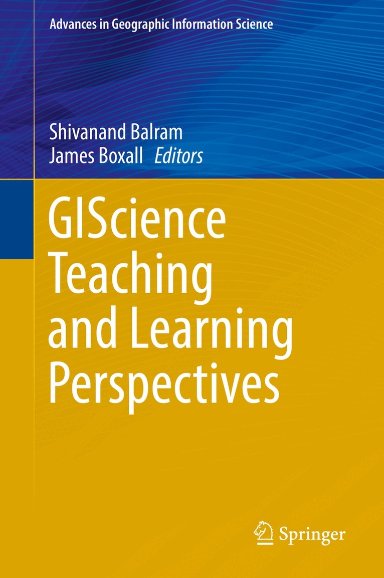
    GIScience Teaching and Learning Perspectives

    AvShivanand Balram,James Boxall

    Inbunden, Engelska, 2019

    Del i serien Advances in Geographic Information Science

    1 841 kr

    Beställningsvara. Skickas inom 10-15 vardagar. Fri frakt över 249 kr.

    Beskrivning

    This volume uniquely links educational theories and the practice of GIScience in higher education contexts to guide classroom practice, present effective practical implementations from peers, and provide resources and strategies for effective teaching methods. The book offers a comprehensive exploration of GIScience education, including current trends and future educational needs in GIScience, and will act as a resource to prepare learners for a world that demands more intensive investment in present-day education and technological literacy. Additionally, the indirect benefit of merging the fragmented literature on GIScience literacy will provide a basis to examine common techniques and enable a new wave of research more rooted in learning theories. In ten chapters, the book is designed to attract an audience from geographic information systems science, geomatics, spatial information science, cartography, information technology, and educational technology as focus disciplines.

    Produktinformation

    • Utgivningsdatum:2019-03-04
    • Mått:155 x 235 x undefined mm
    • Format:Inbunden
    • Språk:Engelska
    • Serie:Advances in Geographic Information Science
    • Antal sidor:200
    • Förlag:Springer Nature Switzerland AG
    • ISBN:9783030060572

    Utforska kategorier

    • Artificiell intelligens inom Data och IT
    • Material och digital teknik i undervisningen inom Psykologi och pedagogik
    • Geografi inom Naturvetenskap och teknik

    Mer om författaren

    University teaching and service have always been tightly interconnected aspects for Shivanand Balram. Since his undergraduate studies he has been continuously active in all aspects of university teaching and service in various capacities. He has an undergraduate degree in Physics (solar energy applications), a Masters degree in GIS and Remote Sensing (medical geography), and a PhD degree in Geography (GIS and Environmental Modelling) together with more than twenty years of university teaching experience. In chronological order, he was: Instructor for High School Physics Students, University Lecturer in Physics, GIS Consultant for a US$ 3M training program for government agencies, Urban GIS consultant for a US$10M Inter-American Development Bank urban renewal program, Online course instructor, MOOC course instructor, and currently serves as a Senior Lecturer of Spatial and Geographic Information Science. Through a number of grants from internal and external sources for the last 5 years, he has completed three projects dealing with blended learning, learning outcomes, and video learning objects within a Scholarship of Teaching and Learning (SoTL) investigation framework. He has contributed to the profession through peer-reviewed publications, manuscript reviews, conference organization, specialized committees of professional organizations, and graduate student supervisory committees.James Boxall is first and foremost an educator. He teaches geography and GIS at Dalhousie University where holds appointments in Marine Affairs, Planning, Earth Sciences and Information management. His current position is as The Geographer in the GIS Centre at Dalhousie. He was on the National Science Foundation Review Panel of the Alexandria Digital Geolibrary project, a past-president of the Canadian Cartographic Association, the Association of Canadian Map Libraries and Archives, and the Geomatics Association of Nova Scotia. He is a Governor and Fellow of the Royal Canadian Geographical Society (RCGS) and a member of the Canadian Geographic Education Committee (CGE) and Chairs the Research Grants Committee for RCGS. He received the Society’s Education Medal in 2012 for helping to found the CGE of RCGS, and also received the Franklin Expedition Erebus Medal in 2015. He is also a Fellow of the Royal Geographical Society. He is also on Board of Governors of the Nova Scotia Museums. James co-chairs the International Network for Learning and Teaching Geography; is a regional representative on the IGU Commission for Geographical Education; member of the Canadian Committee for International Map Year; and past co-chair of the Canadian Round Table on Geomatics (NRCan) leading the development of GeoAlliance Canada. He was a lead proponent for the Declaration to Enhance Geographic Education in Canada. He sits on the Journal of Map and Geography Libraries review board. His professional passion is geospatial information and oceans.

    Innehållsförteckning

    • Chapter1: Teaching and learning pedagogies in higher education geographic information science.- Chapter2: The evolution and definition of geospatial literacy.- Chapter3: Enabling scientific research skills in undergraduate students during a spatial modeling course.- Chapter4: The AMETHYST program: The NSERC create experience.- Chapter5: "The map is not the territory": Adding value to technical GIS education.- Chapter6: Using an online format to teach graduate-level remote sensing basics.- Chapter7: WebGIS in development: From research and teaching perspectives.- Chapter8: Neogeography: Rethinking participatory mapping and place-based learning in the geoweb age.- Chapter9: Navigating employment prospects for new graduates in the geospatial sciences.- Chapter10: Epilogue: Future of convergence and crisis