• Fri frakt över 249 kr
  • •
  • Snabba leveranser
  • •
  • Billiga böcker
Kundservice

Du är på sajten för privatpersoner.

Företag, bibliotek eller offentlig verksamhet?

Du handlar på classic.bokus.com, där alla dina funktioner finns intakta.
Till classic.bokus.com
Bokus logotyp. Gå till startsidan.
  • Erbjudanden
  • Student
  • Topplistor
  • Barn & ungdom
  • Bokus Play
  • E-böcker
  • Ljudböcker
  • Pocketböcker
  • Spel och pussel

5% studentrabatt – använd koden KURSBOK27 →

Sidfot

Mina sidor

    Hjälp

    • Kundservice
    • Vanliga frågor och svar
    • Frakt och leverans
    • Retur vid ångerrätt
    • Reklamera vara
    • Betalning
    • Köpvillkor
    • Allmänna villkor
    • Information om webbplatsens tillgänglighet

    Om Bokus

    • Om oss
    • Pressrum
    • För studenter
    • För företag
    • För bibliotek och offentlig verksamhet
    • För leverantörer
    • Hållbarhet

    Populärt

    • Aktuella erbjudanden
    • Presentkort
    • Studentlitteratur
    • Nya böcker
    • Topplistor
    • Signerade böcker
    • Engelska böcker

    Inspiration

    • Boktips
    • BookTok
    • Barnbokskaraktärer
    • Populära författare
    Logotyp för Bokus
    Följ oss på Facebook (extern länk)Följ oss på Instagram (extern länk)Följ oss på YouTube (extern länk)Följ oss på TikTok (extern länk)
    bokus @ CookiesAnpassa cookiesIntegritetspolicyKöpvillkor
    Till Citymail hemsida (extern länk)Till Budbee hemsida (extern länk)Till Postnord hemsida (extern länk)Till Schenker hemsida (extern länk)Till Early Bird hemsida (extern länk)Till Walleys hemsida (extern länk)
    1. Naturvetenskap och teknik
    2. Geovetenskap
    3. Miljövetenskap och miljöpolitik

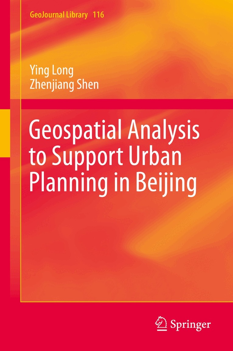
    Geospatial Analysis to Support Urban Planning in Beijing

    AvYing Long,Zhenjiang Shen

    Inbunden, Engelska, 2015

    Del i serien GeoJournal Library

    543 kr

    Beställningsvara. Skickas inom 10-15 vardagar. Fri frakt över 249 kr.

    Fler format och utgåvor

    Häftad

    543 kr

    Beskrivning

    This book describes a comprehensive framework of novel simulation approaches, conventional urban models, and related data mining techniques that will help develop planning support systems in Beijing as well as other mega-metropolitan areas. It investigates the relationships between human behaviors and spatial patterns in order to simulate activities in an urban space, visualize planning alternatives, and support decision making.The book first explains urban space using geometric patterns, such as points, networks, and polygons, that help identify patterns of household and individual human behavior. Next, it details how novel simulation methodologies, such as cellular automaton and multi-agent systems, and conventional urban modeling, such as spatial interaction models, can be used to identify an optimal or a simulated solution for a better urban form. The book develops a comprehensive land use and transportation integrated model used to explore the spatial patterns ofmutual interaction between human mobility and urban space. This model can help forecast the distribution of different types of households, rent prices, and land prices, as well as the distribution of routes and traffic volume based on an appraisal of labor demand and supply.This book shows how geospatial analysis can be a useful tool for planners and decision makers to help in ascertaining patterns of activities and support urban planning. Offering both novel and conventional approaches to urban modeling, it will appeal to researchers, students, and policy makers looking for the optimal way to plan the development of a mega-metropolitan area.

    Produktinformation

    • Utgivningsdatum:2015-10-23
    • Mått:155 x 235 x 22 mm
    • Vikt:617 g
    • Format:Inbunden
    • Språk:Engelska
    • Serie:GeoJournal Library
    • Antal sidor:272
    • Upplaga:15001
    • Förlag:Springer International Publishing AG
    • ISBN:9783319193410

    Utforska kategorier

    • Miljövetenskap och miljöpolitik inom Naturvetenskap och teknik
    • Regional planering inom Naturvetenskap och teknik
    • Geografi inom Naturvetenskap och teknik

    Innehållsförteckning

    • Prologue: Geospatial analysis and application: A comprehensive view of planning support issues in the Beijing metropolitan area.- Urban form: Human behaviour contained in geo-features: Micro-data synthesis to determine household attributes, the population location, and human mobility in Beijing.- Exploring virtual human activities in Beijing using micro-blog data: A preliminary exploration using big data.- Commuting behaviour in Beijing using bus smart card data.- Identifying the impact of the socioeconomic attributes of urban space on human mobility: Evidence from the analysis of TAZ and individual scales in Beijing.- Planning actions to control development activities: A preliminary study in planning management using an agent-based approach in Beijing.- Development activities and the transitional economy of China from 1950–2012 using a polygon-based approach.- Urban form: Spatial patterns for land use and transportation: Exploring urban spatial patterns of transportation and land usein Beijing using the land use and transportation integrated model.- The transition of traffic flow in the urban space during the urban expansion process in Beijing between 2005 and 2010.- The land use pattern of Beijing–Tianjin–Hebei using a constrained cellular automata model.- Global sensitivity analysis of the effect of land use policy on urban growth patterns using constrained CA models and the GLUE approach.- A new approach to land use patterns: A fine-scale, polygon-based database for urban spatial development models of Beijing.- Parcel direction: A new indicator for spatiotemporally measuring land use patterns and understanding urban form.- Epilogue: A planning support toolkit for Beijing, including theories, software and models. ​