• Fri frakt över 249 kr
  • •
  • Snabba leveranser
  • •
  • Billiga böcker
Kundservice

Du är på sajten för privatpersoner.

Företag, bibliotek eller offentlig verksamhet?

Du handlar på classic.bokus.com, där alla dina funktioner finns intakta.
Till classic.bokus.com
Bokus logotyp. Gå till startsidan.
  • Erbjudanden
  • Nyheter
  • Student
  • Topplistor
  • Barn & ungdom
  • Bokus Play
  • E-böcker
  • Pocketböcker
  • Spel & pussel

10% rabatt på allt med kod NYSTART10 →

Sidfot

Mina sidor

    Hjälp

    • Kundservice
    • Vanliga frågor och svar
    • Frakt och leverans
    • Retur vid ångerrätt
    • Reklamera vara
    • Betalning
    • Köpvillkor
    • Allmänna villkor
    • Information om webbplatsens tillgänglighet

    Om Bokus

    • Om oss
    • Pressrum
    • För studenter
    • För företag
    • För bibliotek och offentlig verksamhet
    • För leverantörer
    • Hållbarhet

    Populärt

    • Aktuella erbjudanden
    • Presentkort
    • Studentlitteratur
    • Nya böcker
    • Topplistor
    • Signerade böcker
    • Engelska böcker

    Inspiration

    • Boktips
    • BookTok
    • Populära bokserier
    • Barnbokskaraktärer
    • Populära författare
    Logotyp för Bokus
    Följ oss på Facebook (extern länk)Följ oss på Instagram (extern länk)Följ oss på YouTube (extern länk)Följ oss på TikTok (extern länk)
    bokus @ CookiesAnpassa cookiesIntegritetspolicyKöpvillkor
    Till Citymail hemsida (extern länk)Till Budbee hemsida (extern länk)Till Postnord hemsida (extern länk)Till Schenker hemsida (extern länk)Till Early Bird hemsida (extern länk)Till Walleys hemsida (extern länk)
    1. Naturvetenskap och teknik
    2. Geovetenskap
    3. Miljövetenskap och miljöpolitik

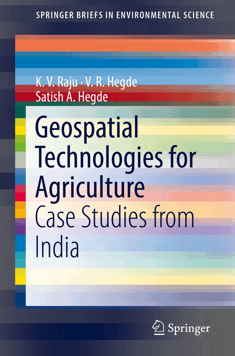
    Geospatial Technologies for Agriculture

    Case Studies from India

    AvK. V. Raju,V. R. Hegde

    Häftad, Engelska, 2018

    Del i serien SpringerBriefs in Environmental Science

    546 kr

    Beställningsvara. Skickas inom 10-15 vardagar. Fri frakt över 249 kr.

    Beskrivning

    This book uniquely presents accurate and up-to-date information related to crops in small and fragmented agricultural lands with mixed cropping patterns. The book involves research using remote sensing (RS), Global Positioning Systems (GPS) and Geographic Information Systems (GIS) to develop crop inventories in three growing seasons in three villages across India to inform decision makers and planners on best practices for agricultural management. The data analysis of crop details using various geospatial technologies fills in gaps in statistical agriculture research, and provides reliable, replicable and efficient methods for generating agricultural statistics. The book will be of interest to statisticians, planners and decision makers in crop management and production.

    Produktinformation

    • Utgivningsdatum:2018-10-20
    • Mått:155 x 235 x 10 mm
    • Vikt:307 g
    • Format:Häftad
    • Språk:Engelska
    • Serie:SpringerBriefs in Environmental Science
    • Antal sidor:152
    • Förlag:Springer International Publishing AG
    • ISBN:9783319966458

    Utforska kategorier

    • Miljövetenskap och miljöpolitik inom Naturvetenskap och teknik
    • Agronomi och lantbruk inom Naturvetenskap och teknik
    • Geografi inom Naturvetenskap och teknik

    Mer om författaren

    Dr. K. V. Raju is Theme Leader, Policy & Impact, Research Program-Asia, at the International Crops Research Institute for the Semi-Arid Tropics, Patancheru, Telangana, and Economic Adviser to the Chief Minister of the Government of Uttar Pradesh. Previously, he was Economic Adviser to the Chief Minister of the Government of Karnataka for five years. Before that, he was Professor and Head at the Center for Ecological Economics and Natural Resources, Institute for Social and Economic Change, Bangalore. He has worked in the International Water Management Institute, Colombo; the International Food Policy Research Institute, Washington DC; and the Institute for Economic Growth, Delhi. Dr. Raju also worked on a community based tank rehabilitation programme of Karnataka, united Andhra Pradesh and Rajasthan.  Dr. V. R. Hegde possesses expert knowledge in management principles, and best practices and guidelines related to resources development and management. He has more than25 years of experience in the field of Strategic Advisories, Management Consulting, Project Conceptualization, Project Planning, Delivery, and Business Development and Implementation. He is a specialist in Groundwater management, spatial database, Consulting, Geographic Information System (GIS) and Remote Sensing Technology, Decision Support System (DSS) and e-governance initiatives. Dr. Hegde has extensive experience in conceptualizing multidisciplinary inventories, monitoring and evaluating practices and developing quantitative/qualitative methodologies for development initiatives.Satish A. Hegde has more than 20 years of experience in the field of information generation, evaluation, and plans for sustainable use using Remote Sensing, GIS and GPS techniques in various capacities. He is involved in performing Software Requirement studies, preparing project proposals, identifying project teams, creating project plans, coordinating with clients and project teams, and projectprogress monitoring for various web based GIS and MIS integrated applications for rural asset mapping, command area information and management, franchise information and management, and crop inventory mapping.

    Innehållsförteckning

    • Chapter1: Introduction.- Chapter2: Crop Area Statistics.- Chapter3: Procedure adopted in different States.- Chapter4: Theme of the Crop Inventory Experiment.-Chapter5: Development of a spatial reference (system) database.- Chapter6: Results of field inventory.- Chapter7: Reasons for non-cultivation.- Chapter8: Land Use.- Chapter9: Repetition in second year.- Chapter10: Kitchen Garden in Jarasingha.- Chapter11: Comparison of Area Statistics: Existing Practice v/s Geospatial Technology.- Chapter12: Conclusions and Recommendations.- Chapter13: SWOT analysis of Geospatial Technology.- Chapter14: Geospatial Technology Intervention-A best method for crop inventory.- Chapter15: Executive Summary.