• Fri frakt över 249 kr
  • •
  • Snabba leveranser
  • •
  • Billiga böcker
Kundservice

Du är på sajten för privatpersoner.

Företag, bibliotek eller offentlig verksamhet?

Du handlar på classic.bokus.com, där alla dina funktioner finns intakta.
Till classic.bokus.com
Bokus logotyp. Gå till startsidan.
  • Erbjudanden
  • Nyheter
  • Student
  • Topplistor
  • Barn & ungdom
  • Bokus Play
  • E-böcker
  • Pocketböcker
  • Spel & pussel

10% rabatt på allt med kod: NYSTART10 →

Sidfot

Mina sidor

    Hjälp

    • Kundservice
    • Vanliga frågor och svar
    • Frakt och leverans
    • Retur vid ångerrätt
    • Reklamera vara
    • Betalning
    • Köpvillkor
    • Allmänna villkor
    • Information om webbplatsens tillgänglighet

    Om Bokus

    • Om oss
    • Pressrum
    • För studenter
    • För företag
    • För bibliotek och offentlig verksamhet
    • För leverantörer
    • Hållbarhet

    Populärt

    • Aktuella erbjudanden
    • Presentkort
    • Studentlitteratur
    • Nya böcker
    • Topplistor
    • Signerade böcker
    • Engelska böcker

    Inspiration

    • Boktips
    • BookTok
    • Populära bokserier
    • Barnbokskaraktärer
    • Populära författare
    Logotyp för Bokus
    Följ oss på Facebook (extern länk)Följ oss på Instagram (extern länk)Följ oss på YouTube (extern länk)Följ oss på TikTok (extern länk)
    bokus @ CookiesAnpassa cookiesIntegritetspolicyKöpvillkor
    Till Citymail hemsida (extern länk)Till Budbee hemsida (extern länk)Till Postnord hemsida (extern länk)Till Schenker hemsida (extern länk)Till Early Bird hemsida (extern länk)Till Walleys hemsida (extern länk)
    1. Samhälle och politik
    2. Samhälle och kultur
    3. Kultur och medier
    4. Referensverk och tvärvetenskap

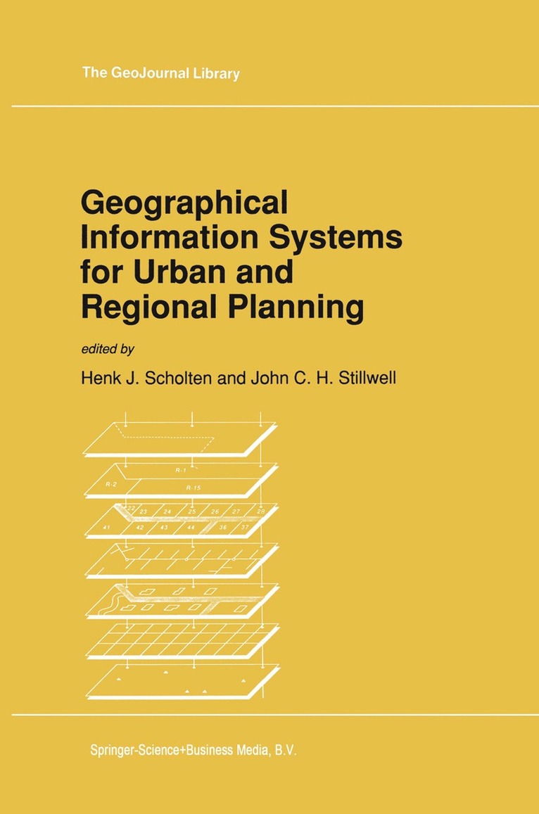
    Geographical Information Systems for Urban and Regional Planning

    AvHenk J. Scholten,John Stillwell

    Häftad, Engelska, 2010

    Del 17 i serien GeoJournal Library

    1 626 kr

    Beställningsvara. Skickas inom 10-15 vardagar. Fri frakt över 249 kr.

    Beskrivning

    In August 1989, a Summer Institute was held at the Academie van Bouwkunst, the seventeenth century home of Amsterdam's School of Architecture, Town Planning and Landscape. The meeting brought together experts in Geographical Information Systems from throughout the world to address an international audience of planners. The contents of this book reflect many of the themes that were presented and discussed at the conference. The Summer Institute, let alone this volume, would not have been possible without the support of the International Association for the Development and Management of Existing and New Towns (INTNAIVN), the International Society of City and Regional Planners (ISoCaRP), The National Physical Planning Agency of the Netherlands (RPD) and the Berlage Studio. We wish to acknowledge the assistance provided by these organisations and by the various sponsors: The Ministry of Housing, Physical Planning and Environment, the Municipality of Amsterdam, Logisterion b.v., ESRI, UNISYS, MABON b.v., SPSS, PRIME Computer Inc., PANDATA. The provision of hardware facilities by the various computer companies allowed immensely valuable 'hands on' experience to be gained by all the participants.

    Produktinformation

    • Utgivningsdatum:2010-10-28
    • Mått:155 x 235 x 17 mm
    • Vikt:470 g
    • Format:Häftad
    • Språk:Engelska
    • Serie:GeoJournal Library
    • Antal sidor:278
    • Förlag:Springer
    • ISBN:9789048140718

    Utforska kategorier

    • Referensverk och tvärvetenskap inom Samhälle och politik
    • Ekonomisk politik inom Ekonomi och Ledarskap
    • Geografi inom Naturvetenskap och teknik

    Recensioner i media

    ' Consequently it must be regarded as a very useful addition to the rapidly growing body of literature on GIS which is now available in book form. ' Town Planning Review 'The longer book, edited by Scholten and Stillwell, is an invaluable reference for those already involved in GIS development,...' Town Planning Review 62:14 1991

    Innehållsförteckning

    • I Geographical Information Systems and Planning.- 1 Geographical information systems: the emerging requirements.- 2 The application of geographical information systems in urban and regional planning.- 3 Growth of geographical information system applications in developing countries.- II Data Management.- 4 Intelligent information systems for accessing planning databases: the San Francisco experience.- 5 Geographical information systems database design: experiences of the Dutch National Physical Planning Agency.- III Urban Planning Applications.- 6 Information management within the planning process.- 7 Fixed asset management and geographical information systems in the Netherlands.- 8 Geographic information system development in Tacoma.- IV Decision Support Systems for Land Use Plannng.- 9 Regional planning for new housing in Randstad Holland.- 10 Geographical information system applications in environmental impact assessment.- 11 A geographical information system based decision support system for environmental zoning.- 12 Multicriteria analysis and geographical information systems: an application to agricultural land use in the Netherlands.- V Spatial Analysis, Modelling and Decision Support.- 13 The application of geographical information systems in the spatial analysis of crime.- 14 Spatial analysis and geographical information systems: a review of progress and possibilities.- 15 Geographical information systems and model based analysis: towards effective decision support systems.- 16 Decision support and geographical information systems.- VI Education and Management.- 17 Education in geographical information systems.- 18 How to cope with geographical information systems in your organisation.- VII Developments in Hardware and Software.- 19 Geoprocessing and geographic information system hardware and software: looking toward the 1990s.- 20 Geographical information systems and visualization.- VIII Information Based Societies.- 21 Geographical information systems in perspective.- References.- Color plates.