Häftad, Engelska, 2018
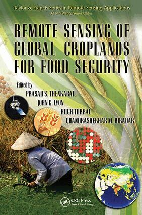
Remote Sensing of Global Croplands for Food Security
Av Prasad Thenkabail, John G. Lyon, Hugh Turral, Chandrashekhar Biradar
Del i serien Remote Sensing Applications Series
1234 kr
Beställningsvara. Skickas inom 10-15 vardagar. Fri frakt över 249 kr.
Beskrivning
Produktinformation
- Utgivningsdatum: 2018-11-14
- Mått: 156 x 234 x 35 mm
- Vikt: 816 g
- Format: Häftad
- Språk: Engelska
- Serie: Remote Sensing Applications Series
- Antal sidor: 524
- Förlag: Taylor & Francis Ltd
- ISBN: 9781138116559
Utforska kategorier
Mer om författaren
Prasad Thenkabail, John G. Lyon, Hugh Turral, Chandrashekhar Biradar
Recensioner i media
… provides unique means for understanding and comparing different cropland mapping strategies by utilizing different satellite sensors and ancillary data sets. The chapters are well written for entry level through advanced level remote sensing or agricultural specialists, and each chapter can be read sequentially or separately. … thoroughly documents the techniques and error assessment methods utilized to develop the world's first global irrigated map derived from remote sensing data. … the numerous international authors, color plates, and national cropland statistical tables makes the book an attractive and authoritative reference for mapping global croplands from remote sensing data.—Curt A. Reynolds, Crop Analyst, Foreign Agricultural Service, USDA, Washington, D.C., in Photogrammetric Engineering & Remote Sensing, June 2010
Betyg & recensioner
0 recensioner
Inga recensioner tillgängliga.