• Fri frakt över 249 kr
  • •
  • Snabba leveranser
  • •
  • Billiga böcker
Kundservice

Du är på sajten för privatpersoner.

Företag, bibliotek eller offentlig verksamhet?

Du handlar på classic.bokus.com, där alla dina funktioner finns intakta.
Till classic.bokus.com
Bokus logotyp. Gå till startsidan.
  • Erbjudanden
  • Nyheter
  • Student
  • Topplistor
  • Barn & ungdom
  • Bokus Play
  • E-böcker
  • Pocketböcker
  • Spel & pussel

10% rabatt på allt med kod: NYSTART10 →

Sidfot

Mina sidor

    Hjälp

    • Kundservice
    • Vanliga frågor och svar
    • Frakt och leverans
    • Retur vid ångerrätt
    • Reklamera vara
    • Betalning
    • Köpvillkor
    • Allmänna villkor
    • Information om webbplatsens tillgänglighet

    Om Bokus

    • Om oss
    • Pressrum
    • För studenter
    • För företag
    • För bibliotek och offentlig verksamhet
    • För leverantörer
    • Hållbarhet

    Populärt

    • Aktuella erbjudanden
    • Presentkort
    • Studentlitteratur
    • Nya böcker
    • Topplistor
    • Signerade böcker
    • Engelska böcker

    Inspiration

    • Boktips
    • BookTok
    • Populära bokserier
    • Barnbokskaraktärer
    • Populära författare
    Logotyp för Bokus
    Följ oss på Facebook (extern länk)Följ oss på Instagram (extern länk)Följ oss på YouTube (extern länk)Följ oss på TikTok (extern länk)
    bokus @ CookiesAnpassa cookiesIntegritetspolicyKöpvillkor
    Till Citymail hemsida (extern länk)Till Budbee hemsida (extern länk)Till Postnord hemsida (extern länk)Till Schenker hemsida (extern länk)Till Early Bird hemsida (extern länk)Till Walleys hemsida (extern länk)
    1. Naturvetenskap och teknik
    2. Matematik och naturvetenskap
    3. Biologi
    4. Biovetenskap

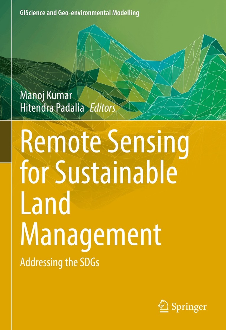
    Remote Sensing for Sustainable Land Management

    Addressing the SDGs

    AvManoj Kumar,Hitendra Padalia

    Inbunden, Engelska, 2026

    Del i serien GIScience and Geo-environmental Modelling

    1 989 kr

    Kommande

    Beskrivning

    This book presents a focused orientation on the development and use of RS-based indicators and monitoring tools. Remote Sensing (RS)-based tools for the monitoring and reporting of national progress on land degradation and desertification have been developed and adopted by countries party to United Nations Convention to Combat Desertification (UNCCD). Each participating country is supposed to provide country-specific information for performance review in achieving the goals of sustainable land management. This is mostly done through identified set of indicators where the application of RS has emerged as a top necessity. This book illustrates methodological approaches for providing timely information at local to global scale. New approaches and tools that may be integrated for such monitoring and reporting will be placed in this book. This book will be a useful resource among professionals and practitioners working to achieve sustainable development goals (SDGs).

    Produktinformation

    • Utgivningsdatum:2026-10-23
    • Mått:178 x 254 x undefined mm
    • Format:Inbunden
    • Språk:Engelska
    • Serie:GIScience and Geo-environmental Modelling
    • Antal sidor:396
    • Förlag:Springer Nature Switzerland AG
    • ISBN:9783032150493

    Utforska kategorier

    • Biovetenskap inom Naturvetenskap och teknik
    • Geografi inom Naturvetenskap och teknik
    • Miljövetenskap och miljöpolitik inom Naturvetenskap och teknik

    Mer om författaren

    Dr. Manoj Kumar specializes in forestry, environment, climate change, and related multidisciplinary subjects. He obtained his PhD from Forest Research Institute Deemed to be University, Dehradun, India for thesis “Analysing impacts of climate change on forests using dynamic vegetation model”. He holds a master’s degree in “Environment Management” and a bachelor’s degree in “Environment and Water Management.” He has nearly 20 years of research and academic experience in using information technology, remote sensing, and GIS tools for various applications in the field of forestry, environment, and climate change. He focuses on testing and developing dynamic vegetation models for studying the impacts of climate change. He has been working on developing a forest simulation model - "ForestInfo" to analyze the functional relationships between plants and their environment, with a particular focus on assessing the impacts of climate change at local and regional scales. Currently, he applies his expertise at CoE-SLM by providing technical guidance on utilizing geoinformatics tools for sustainable land management.Dr. Hitendra Padalia serving as Scientist /Engineer SG and Head of the Forestry and Ecology Department at Indian Institute of Remote Sensing (IIRS), ISRO, Dehradun. He obtained a Master and PhD degree in Forestry from Forest Research Institute University, Dehradun.  He joined ISRO in 2007. He has undergone the Space Studies Program (SSP) of International Space University (ISU). He has contributed to the key national level projects of Department of Space (DOS) & User Ministries like Biodiversity Characterisation at Landscape Level, National Carbon Project, National Natural Resource Census and Decadal LULC Dynamics of Indian River Basins. He has recently led multi-instutional project on Himalayan Alpine Biodiversity assessment funded by the National Mission for Himalayan Studies, MoEFCC. Since 2011, he has been contributing to the education, training and capacity building activities of IIRS and UN affiliated CSSTEAP. He has organised several training courses for IFS Officers, State Forest Rangers and scientists from ICFRE’s institutions in the country. He is a team member of ISRO’s NISAR Science Team and has also contributed to AVIRIS-NG science campaign and HySIS Hyperspectral Data task team. He is a member of the high-level committee constituted by MoEFCC for notification of eco-sensitive areas (ESA) in the Western ghats and member of the Eco-sensitive Zone committee. He has been awarded with P.R. Pisharoty Memorial Award by ISRS, Forestry Research Excellence Award by ICFRE and Platinum Jubilee Lecture Award by Indian Science Congress Association. He has guided four PhDs and several postgraduate dissertations. He has published over 72 peer reviewed publications and also served as Secretary of Indian Society of Remote Sensing (ISRS).

    Innehållsförteckning

    • Remote Sensing for Land Use Land Cover Mapping.- Remote Sensing for Monitoring Land Productivity.- Remote Sensing for Monitoring Soil Moisture Drought land restoration and Sociological Indicators.- Remote Sensing for Forestry Biodiversity and Climate Change.